About 1,709 miles, measured along the route rebuilt from Brock's description and the photo GPS (approximate, not an odometer reading).
Brock gave the outline of the trip (start, overnights and the Oregon turnaround). Dates and places come from the time and GPS data in his photos, and Brock confirmed the roads between them.
Route map
Photos on the map
Round pins are photo GPS places on the rebuilt route (no outside map tiles). Showing 12 of 36 photos on the map; photos taken near homes or at the overnight lodging are left off the map and appear only under their day below. Select a pin or a thumbnail to open the full-size photo.
Northernmost point: Happy Camp Road in Josephine County, Oregon, about 4 miles north of the state line (photo GPS 42.0627 N, 123.5784 W).
GPX downloads
GPX files follow the rebuilt route. They are not a recorded GPS log. Check them before you ride.
- Download full-trip GPX
- Day GPX 10/12 · 389.0 mi
- Day GPX 10/13 · 385.3 mi
- Day GPX 10/14 · 76.7 mi
- Day GPX 10/15 · 303.8 mi
- Day GPX 10/16 · 554.3 mi
Notes
- Brock confirmed the overnights (Carson City, Arcata, Crescent City, Arcata) and the roads on every day, including the days and stretches without photos.
- Mileage is measured along the drawn OpenStreetMap route, not an odometer reading.
Day by day
10/12: Bakersfield to Carson City (Walker Pass and US-395)
Overnight: Carson City
About 389.0 miles (about 8.5 hours of riding, no stops). Approximate, from the rebuilt route.
Out of Bakersfield on CA-178 through the Kern River Canyon and over Walker Pass, then north on US-395 past Lone Pine, Bishop and Mono Lake to Carson City.
Open this day in Google Maps Google Maps may pick slightly different roads than the map above.
Photos from this day
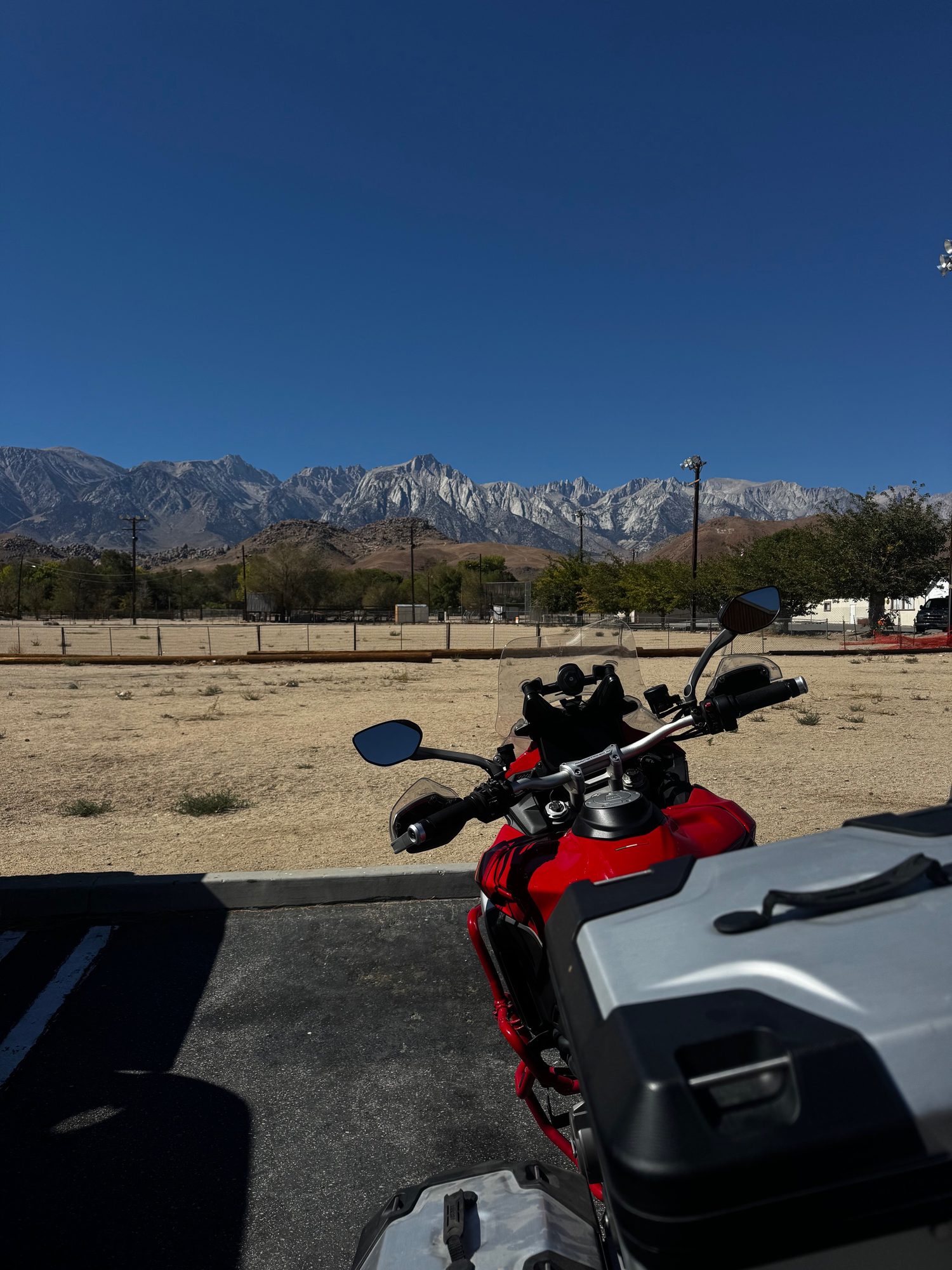
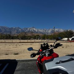 Parked in Lone Pine, with the Sierra Nevada behind
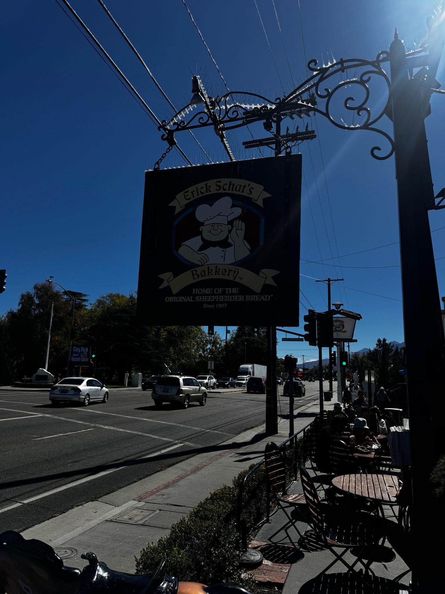
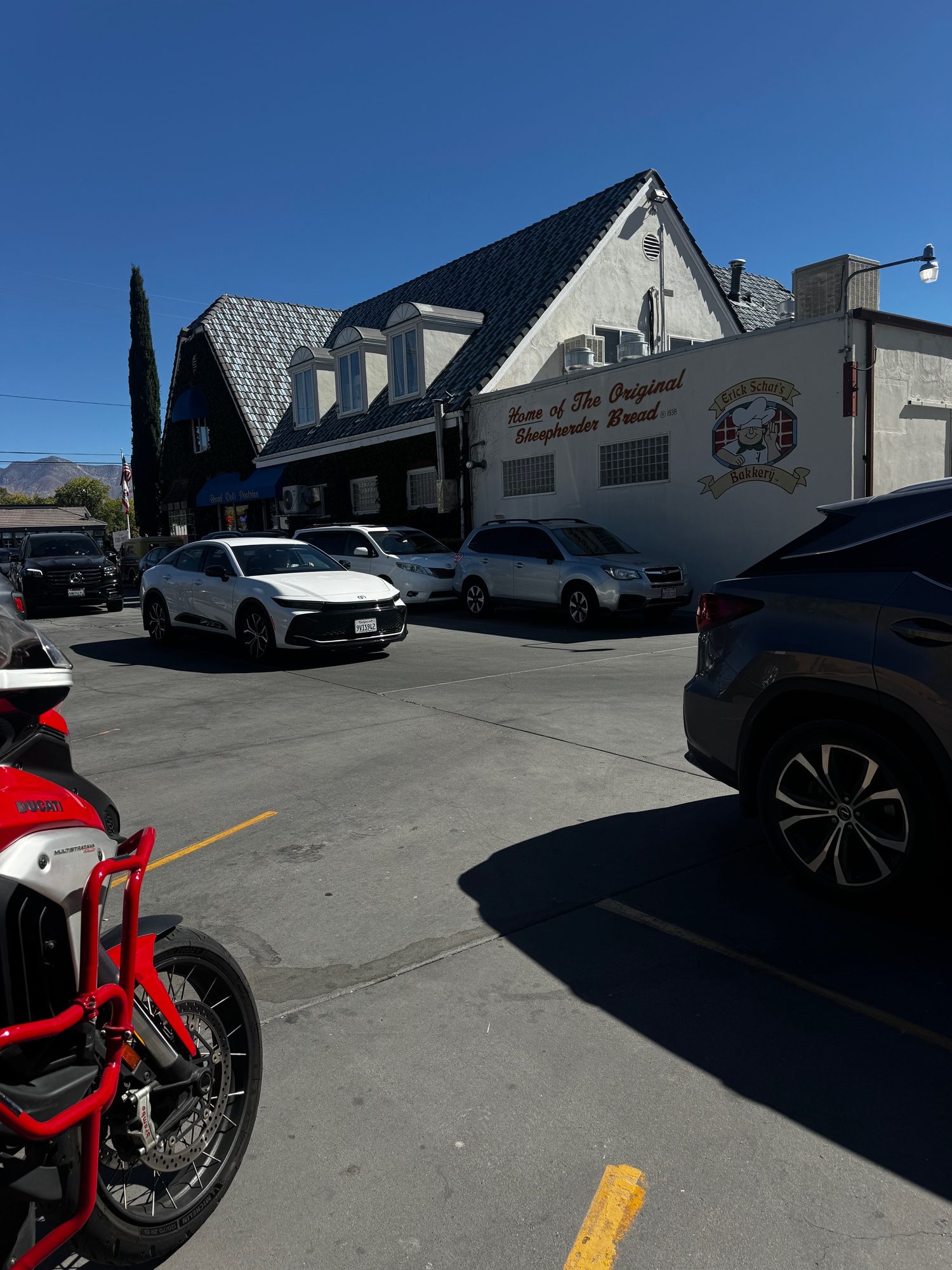
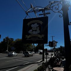 The Erick Schat's Bakkery sign in Bishop
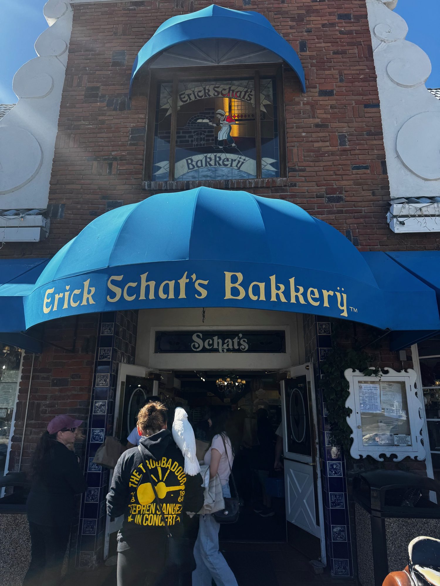
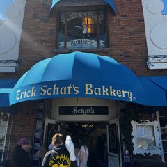 The front of Erick Schat's Bakkery in Bishop
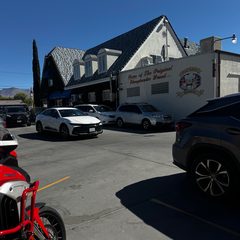 The parking lot by Erick Schat's Bakkery in Bishop
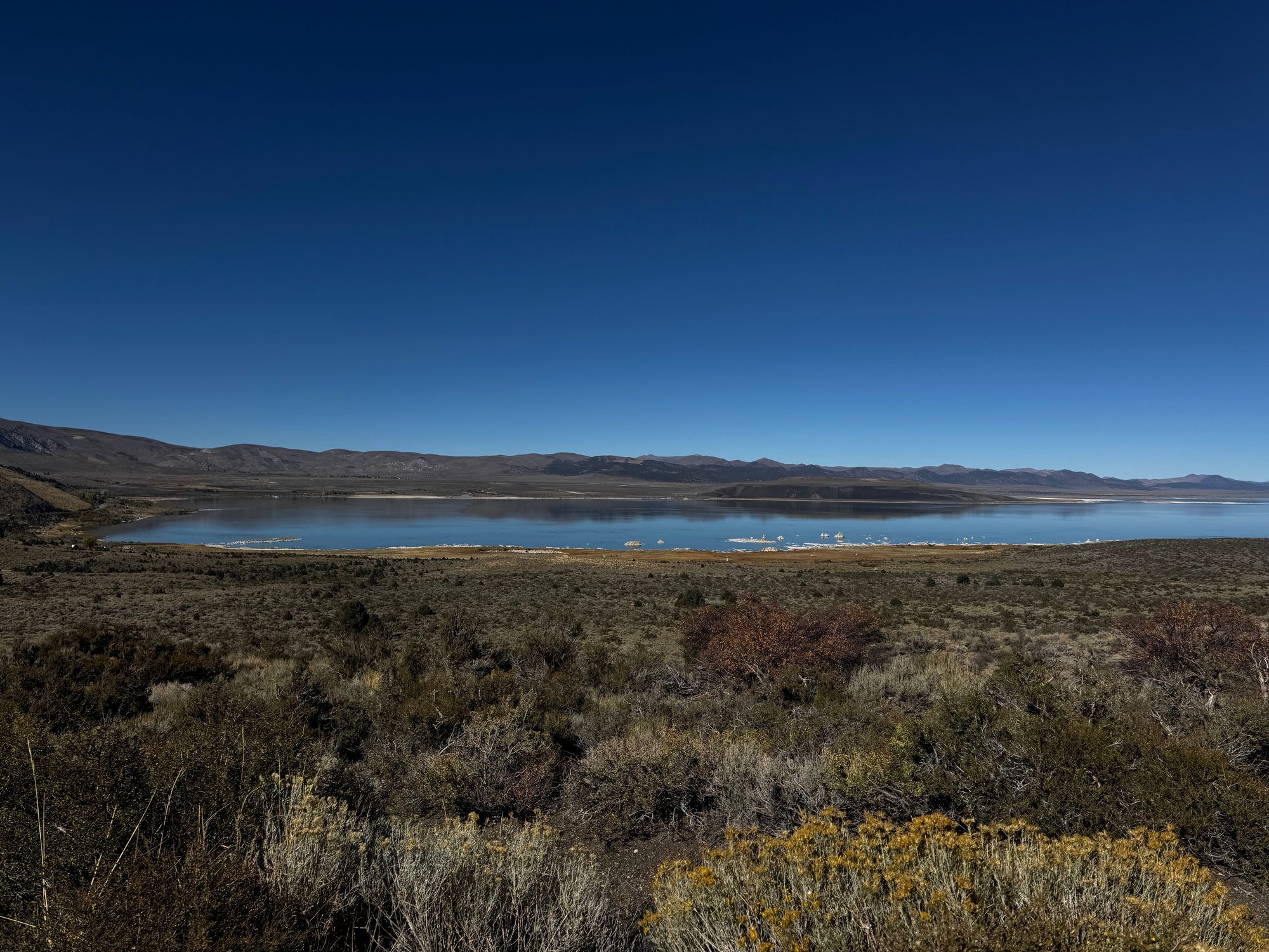
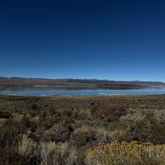 Mono Lake from US-395 near Lee Vining
Select a photo to open it full size.
10/13: Carson City to Arcata (CA-36)
Overnight: Arcata
About 385.3 miles (about 8.7 hours of riding, no stops). Approximate, from the rebuilt route.
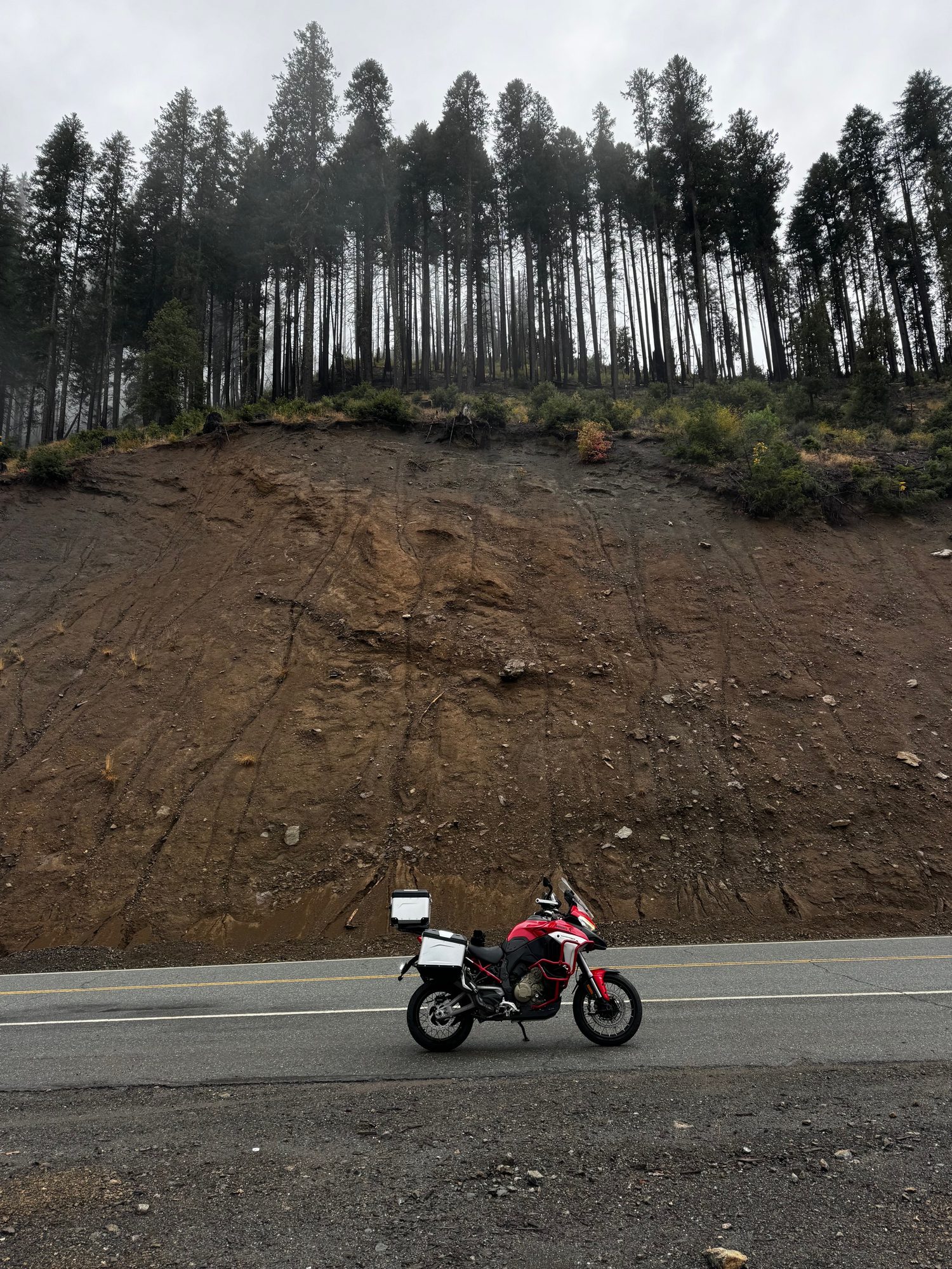
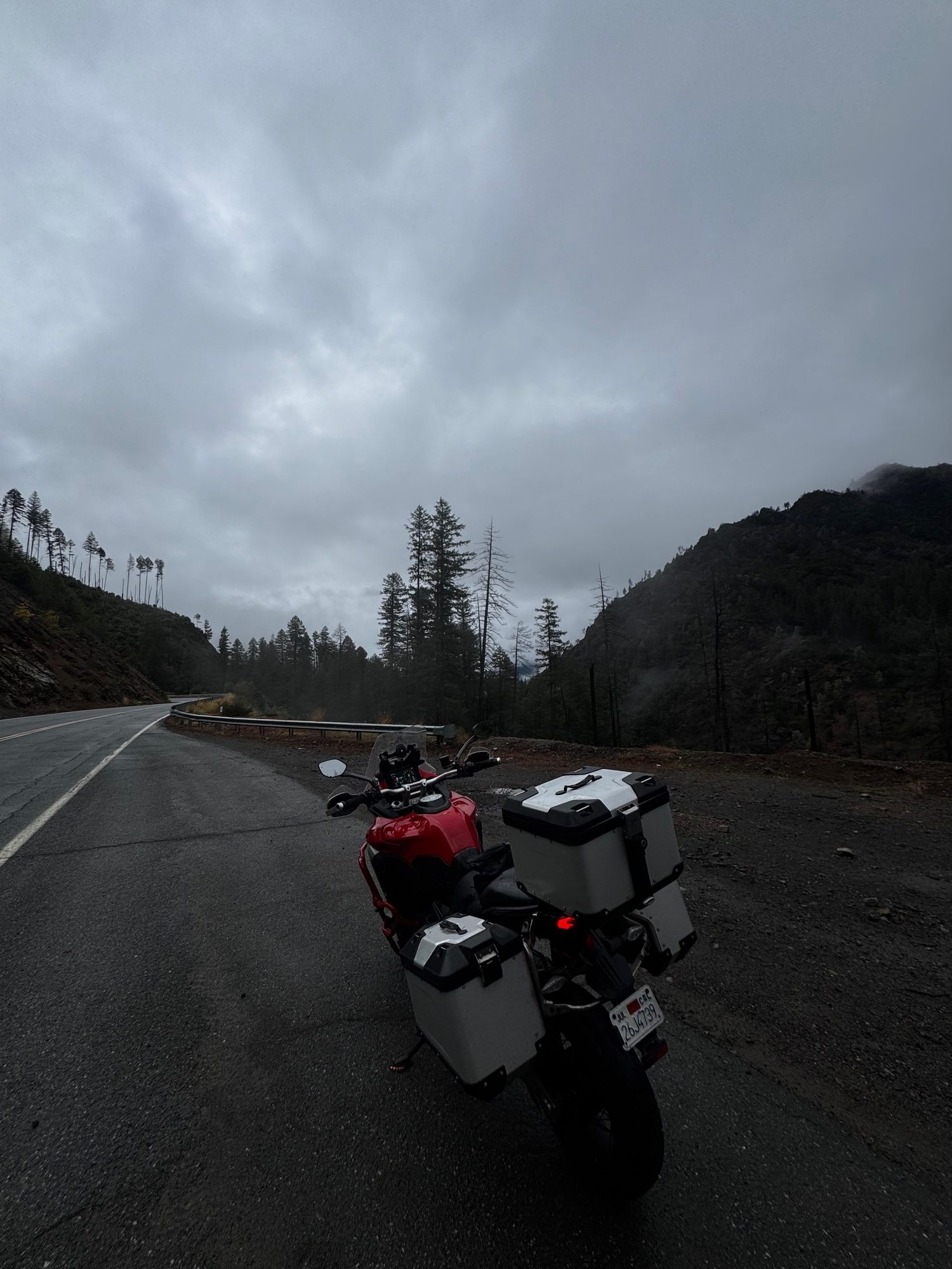
West to Arcata via US-395, Susanville and Red Bluff, then CA-36 across Trinity County to the coast.
Open this day in Google Maps Google Maps may pick slightly different roads than the map above.
Photos from this day
Select a photo to open it full size.
10/14: Arcata up the coast to Crescent City (US-101)
Overnight: Crescent City
About 76.7 miles (about 1.7 hours of riding, no stops). Approximate, from the rebuilt route.
Up the coast on US-101 to Crescent City for the night.
Open this day in Google Maps Google Maps may pick slightly different roads than the map above.
Photos from this day
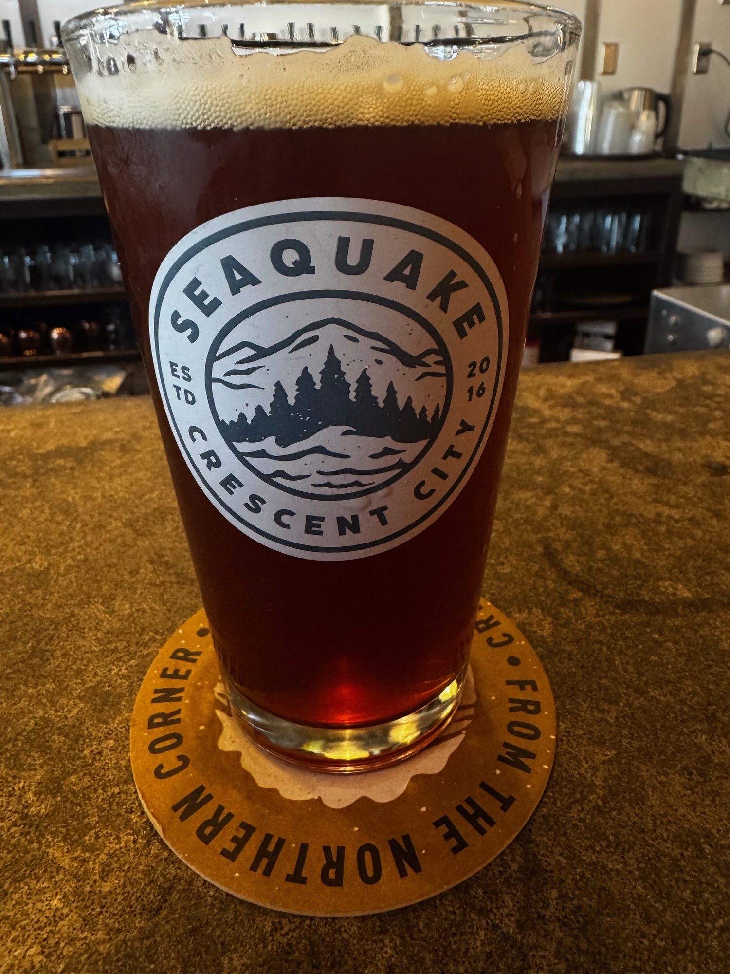
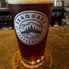 A SeaQuake Brewing pint in Crescent City
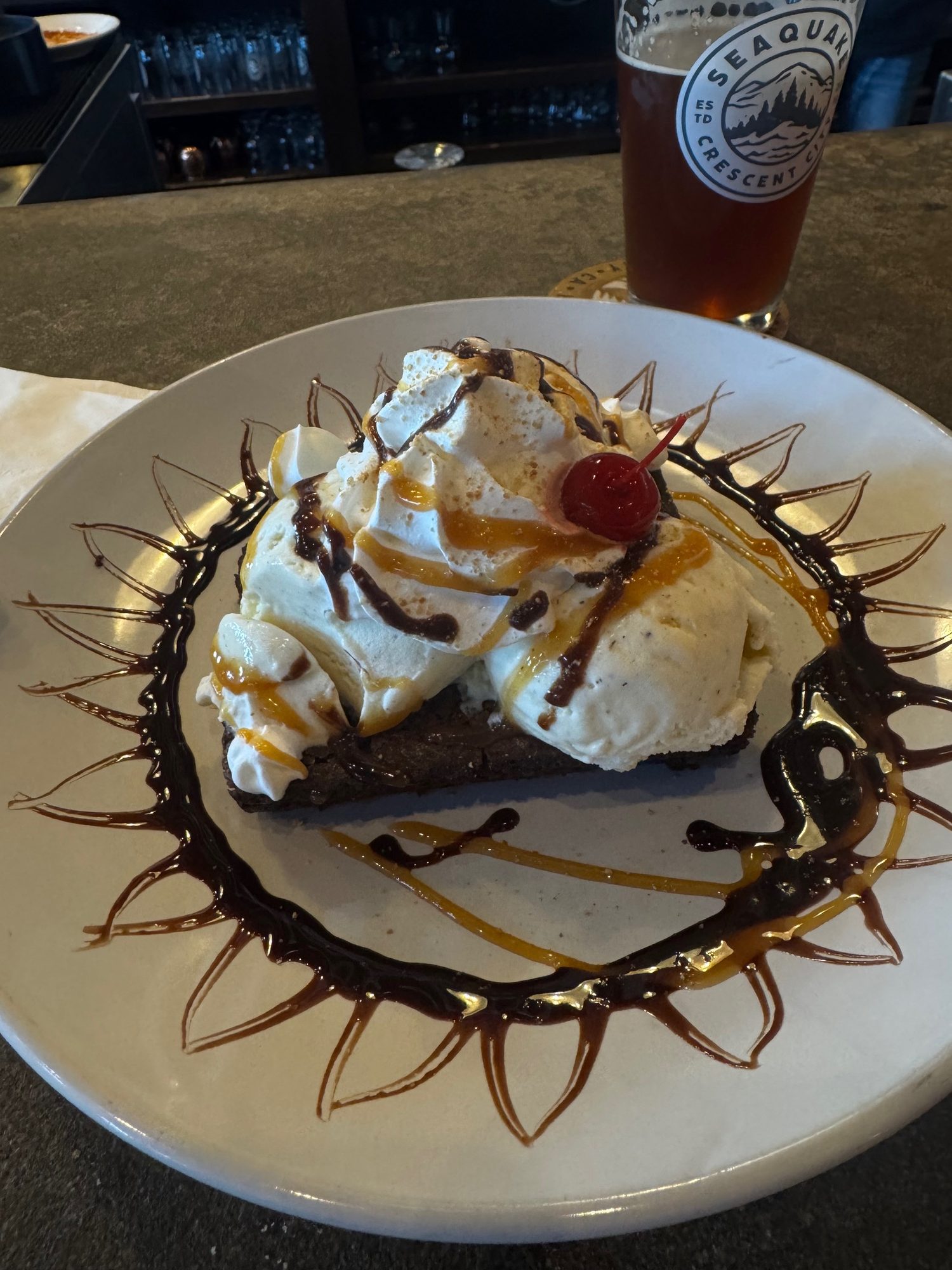
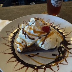 Dessert at SeaQuake Brewing, Crescent City
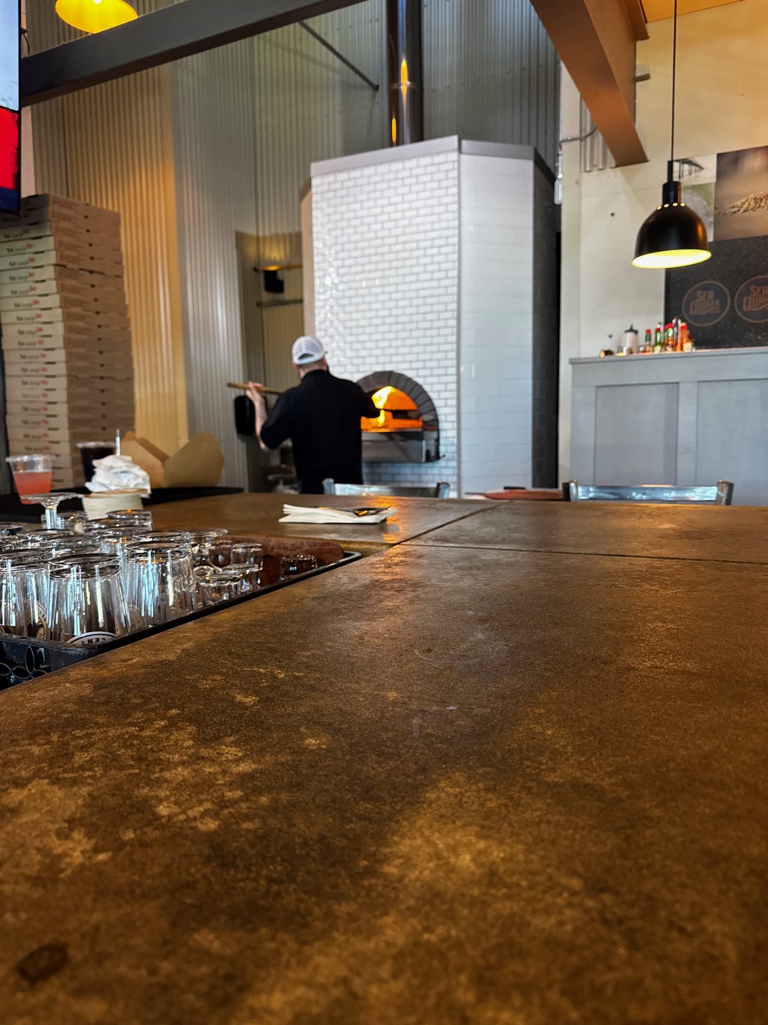
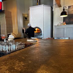 The wood-fired oven behind the bar at SeaQuake Brewing, Crescent City
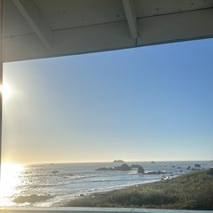 The ocean view from the hotel deck in Crescent City
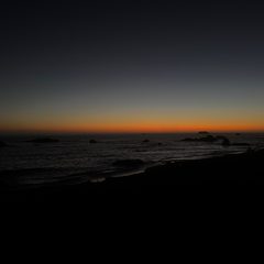 Sunset over the Pacific in Crescent City
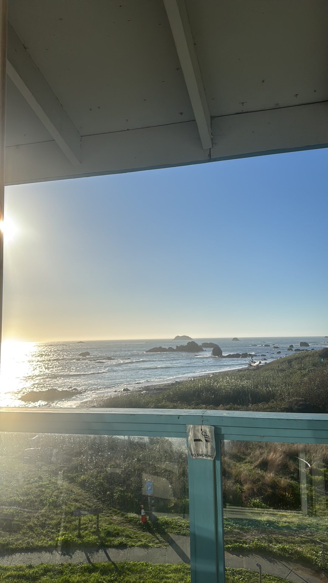
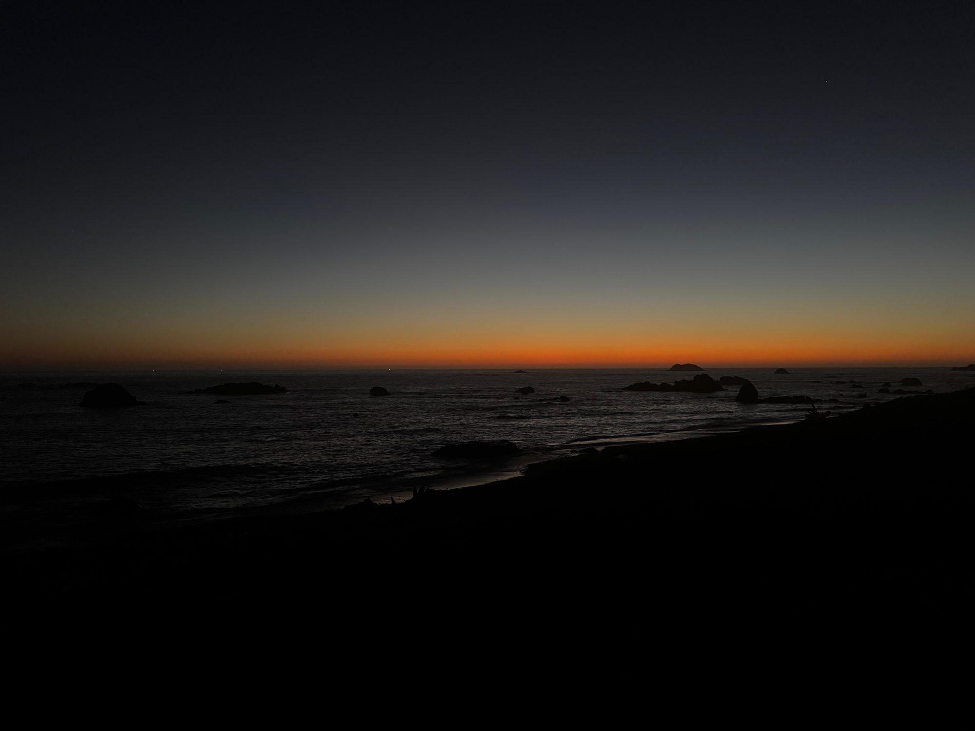
Select a photo to open it full size.
10/15: Crescent City, barely into Oregon, then south to Arcata
Overnight: Arcata
About 303.8 miles (about 9.8 hours of riding, no stops). Approximate, from the rebuilt route.
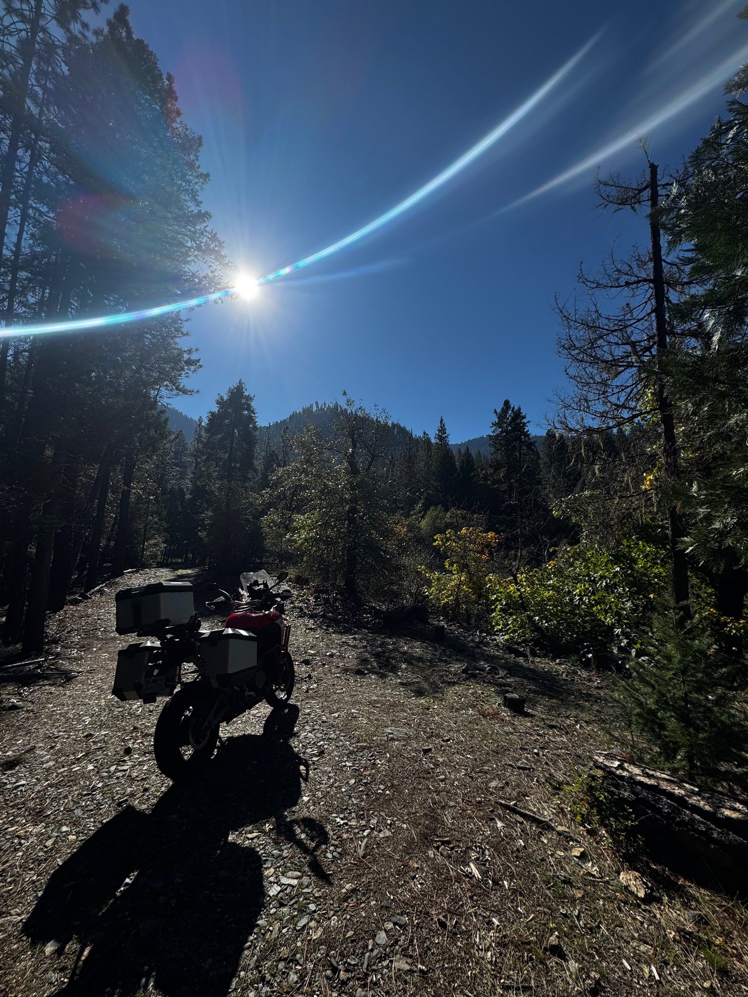
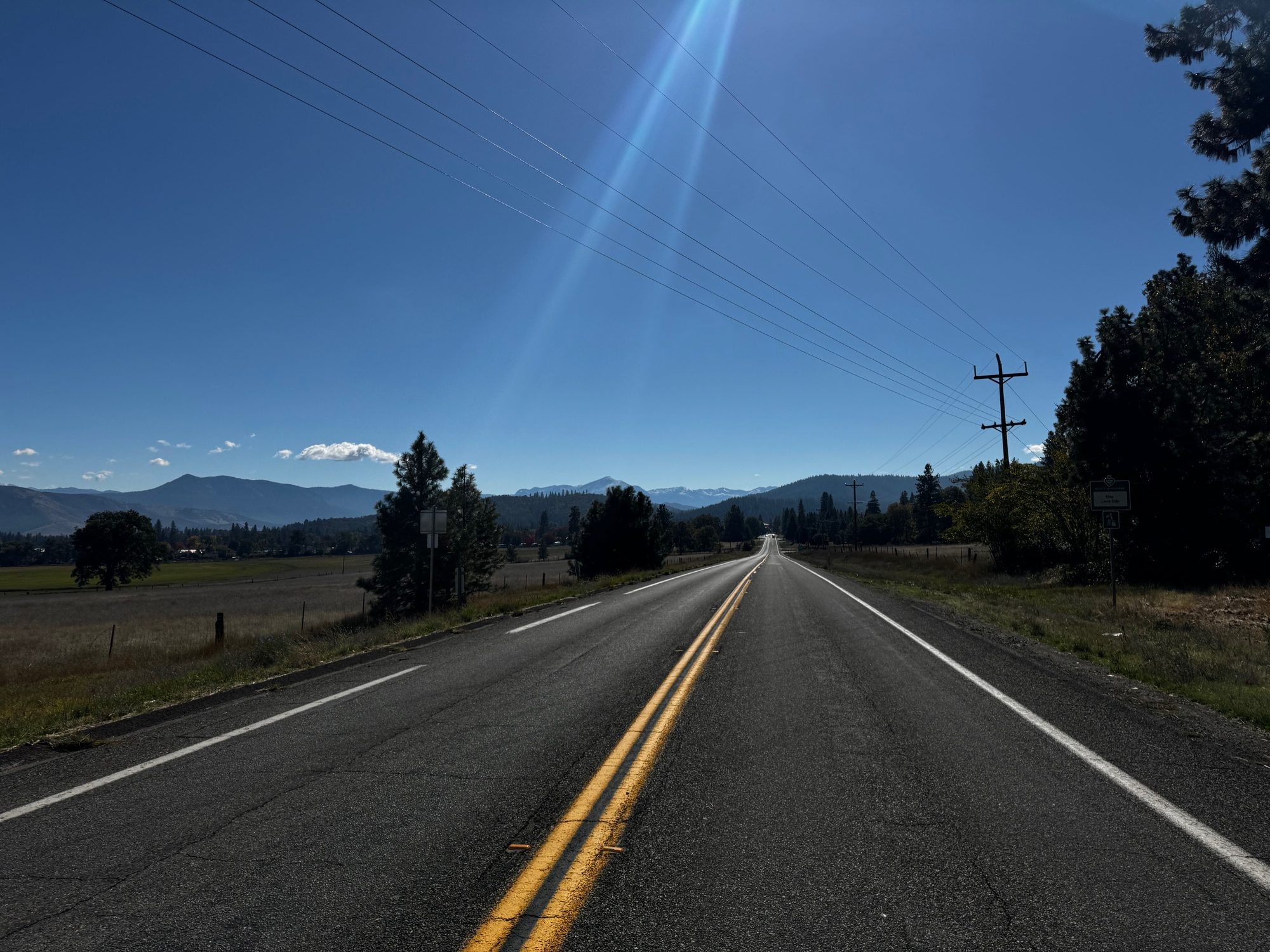
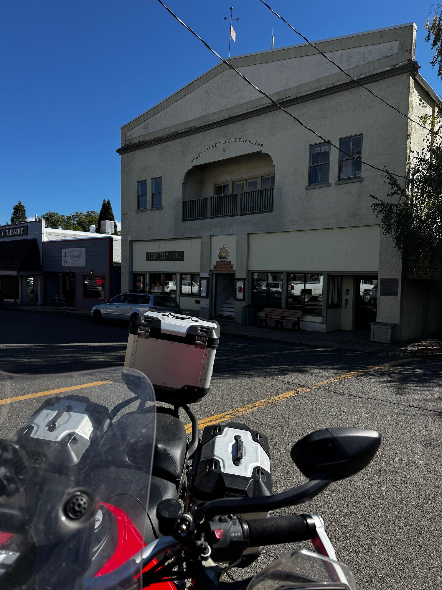
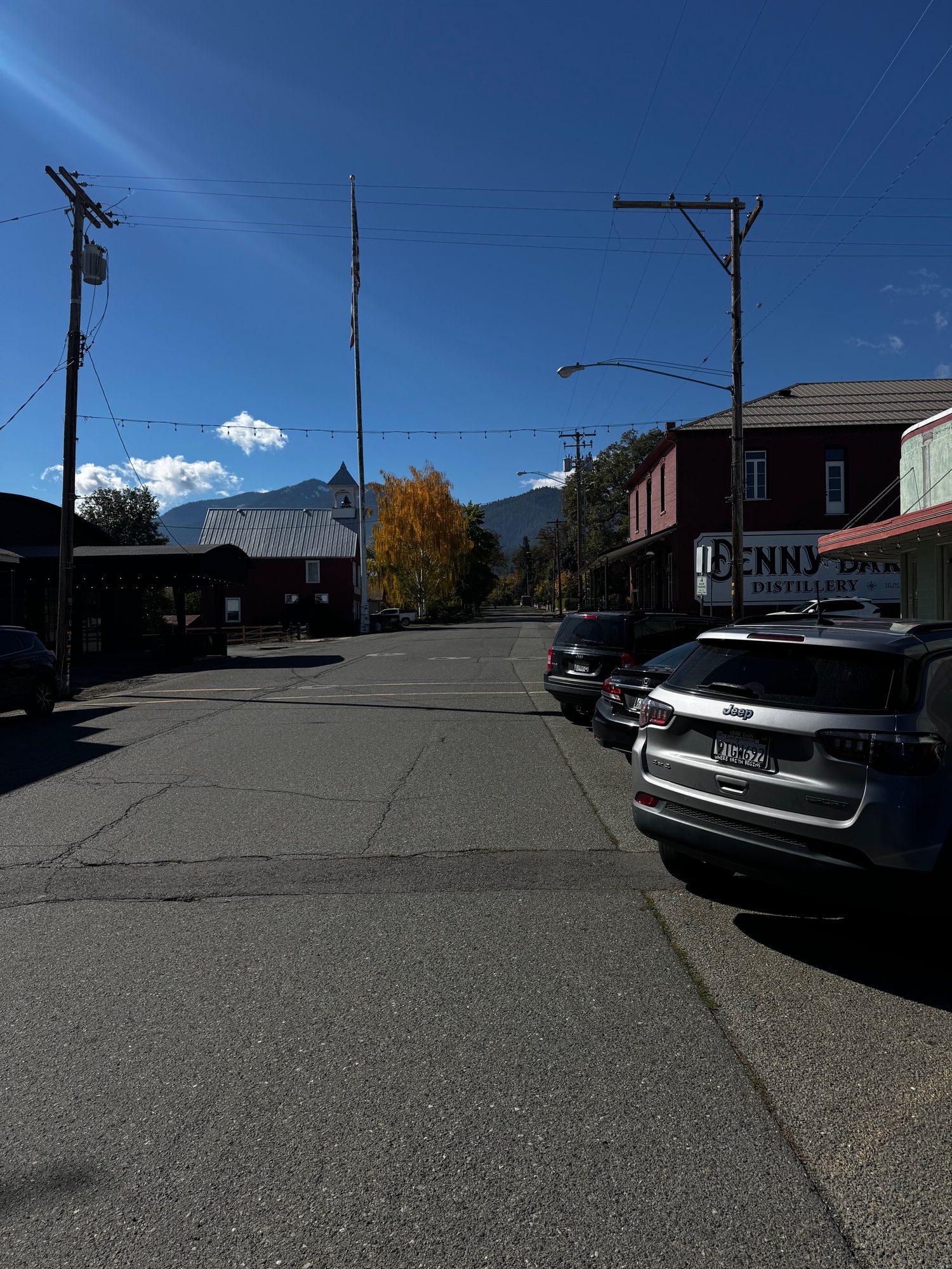
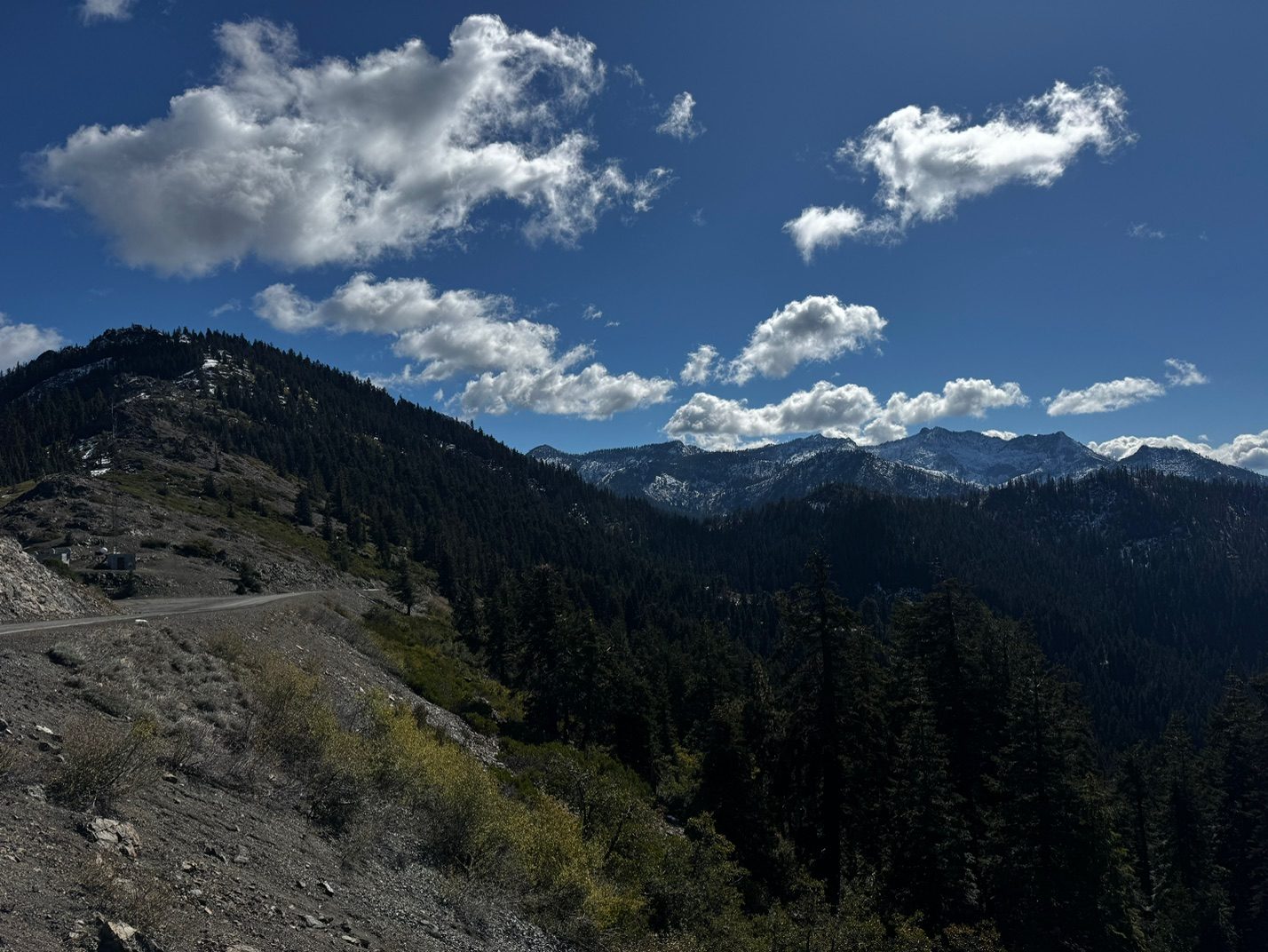
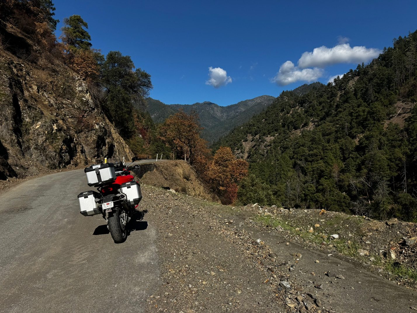
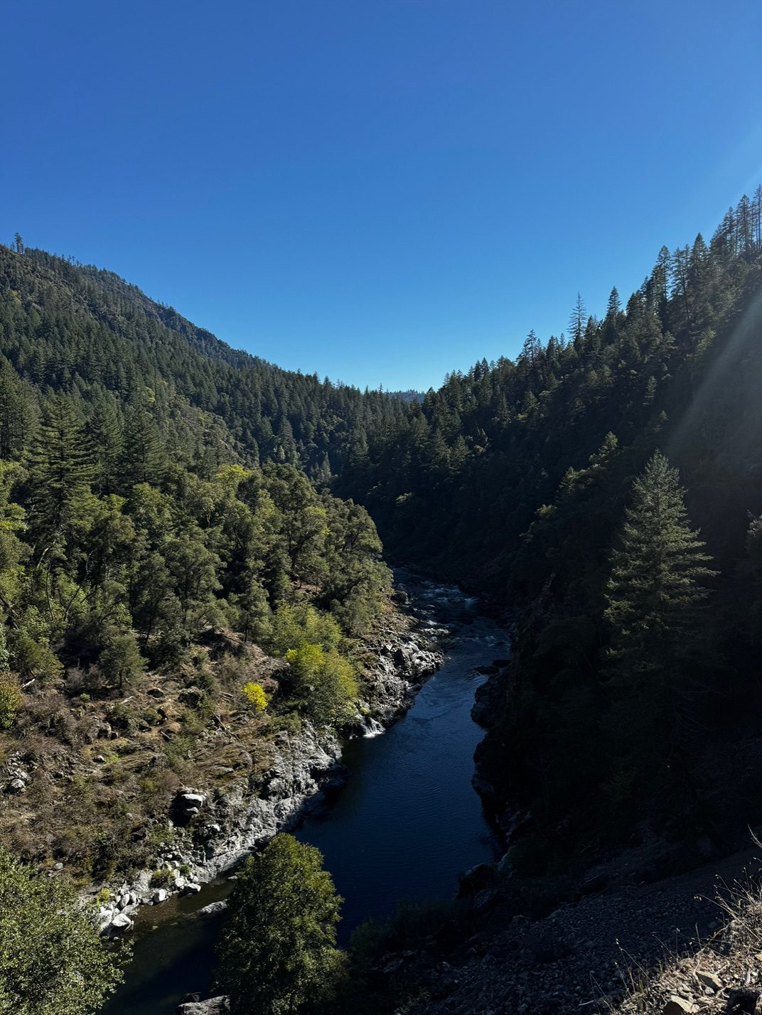
North on US-199 just into Oregon, then south again on Happy Camp Road and Grayback Road back into California, along the Klamath River to Scott River Road, through the Scott Valley to Etna, over Etna Summit to Sawyers Bar, down the Salmon River, then CA-96 to Willow Creek and CA-299 to Arcata.
Open this day in Google Maps Google Maps may pick slightly different roads than the map above.
Photos from this day
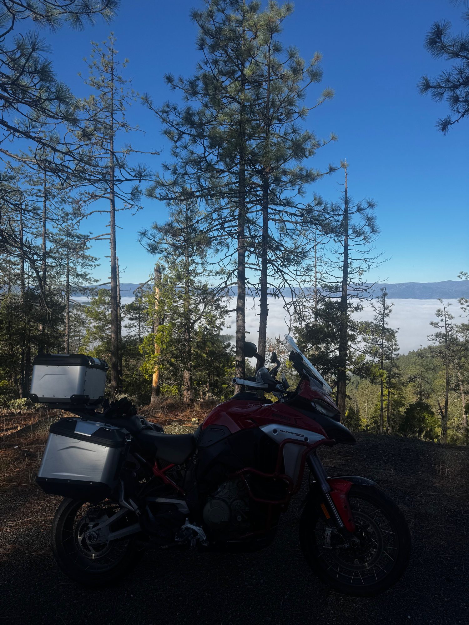
 The bike on Happy Camp Road in Josephine County, Oregon, the trip's northernmost photo
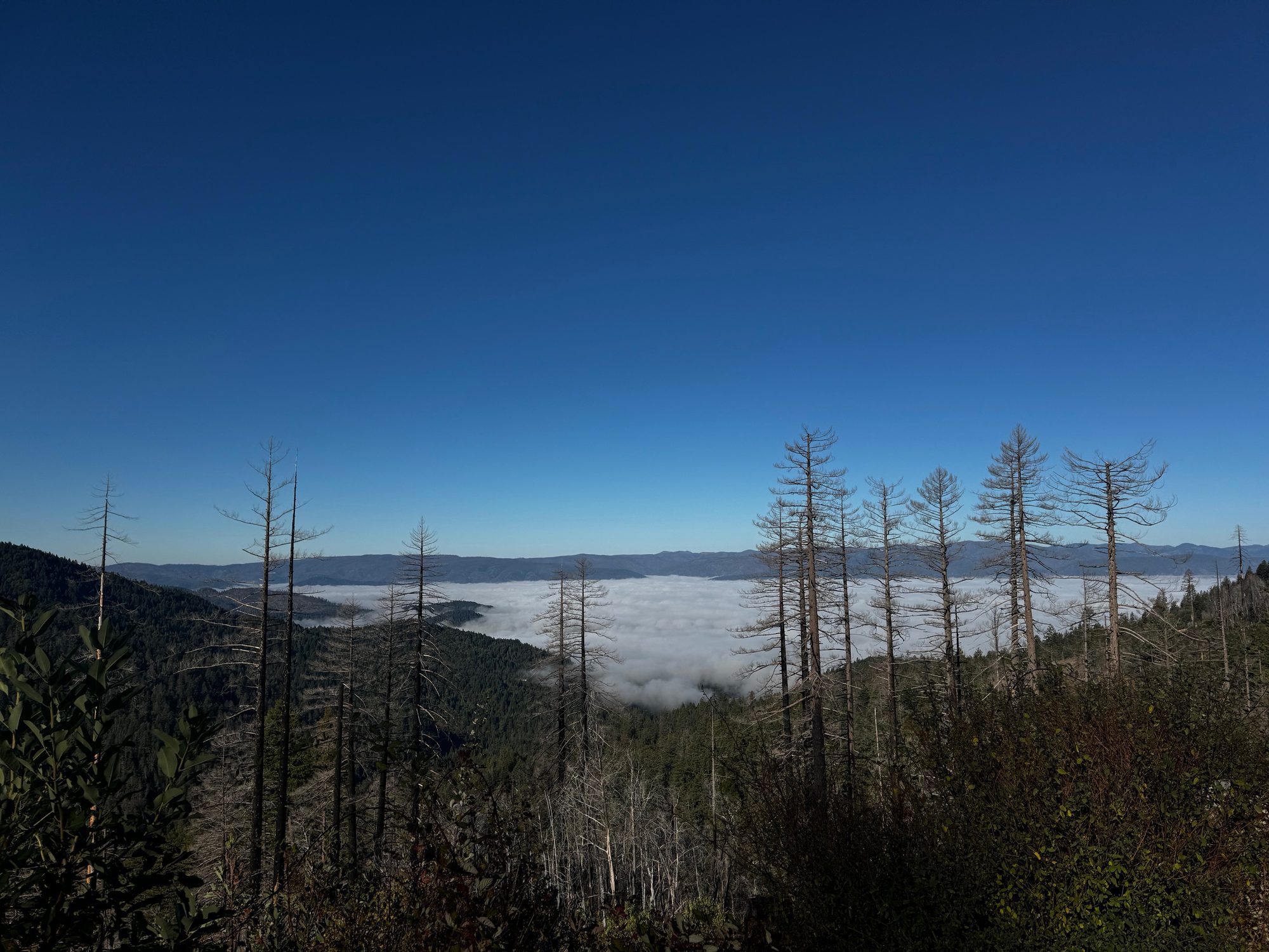
 Fog filling the valleys below Happy Camp Road, Oregon
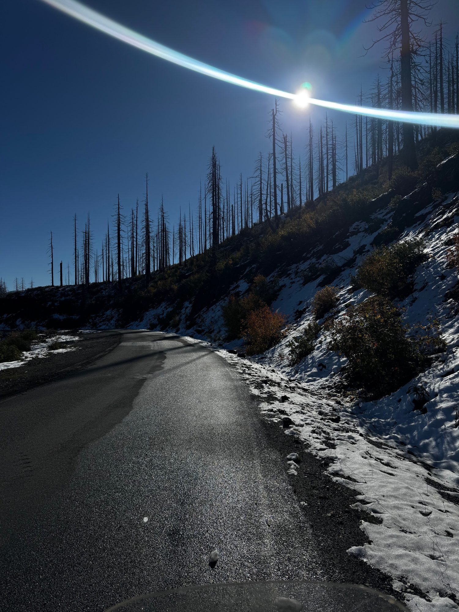
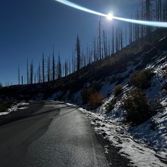 Snow along Happy Camp Road just south of the Oregon line
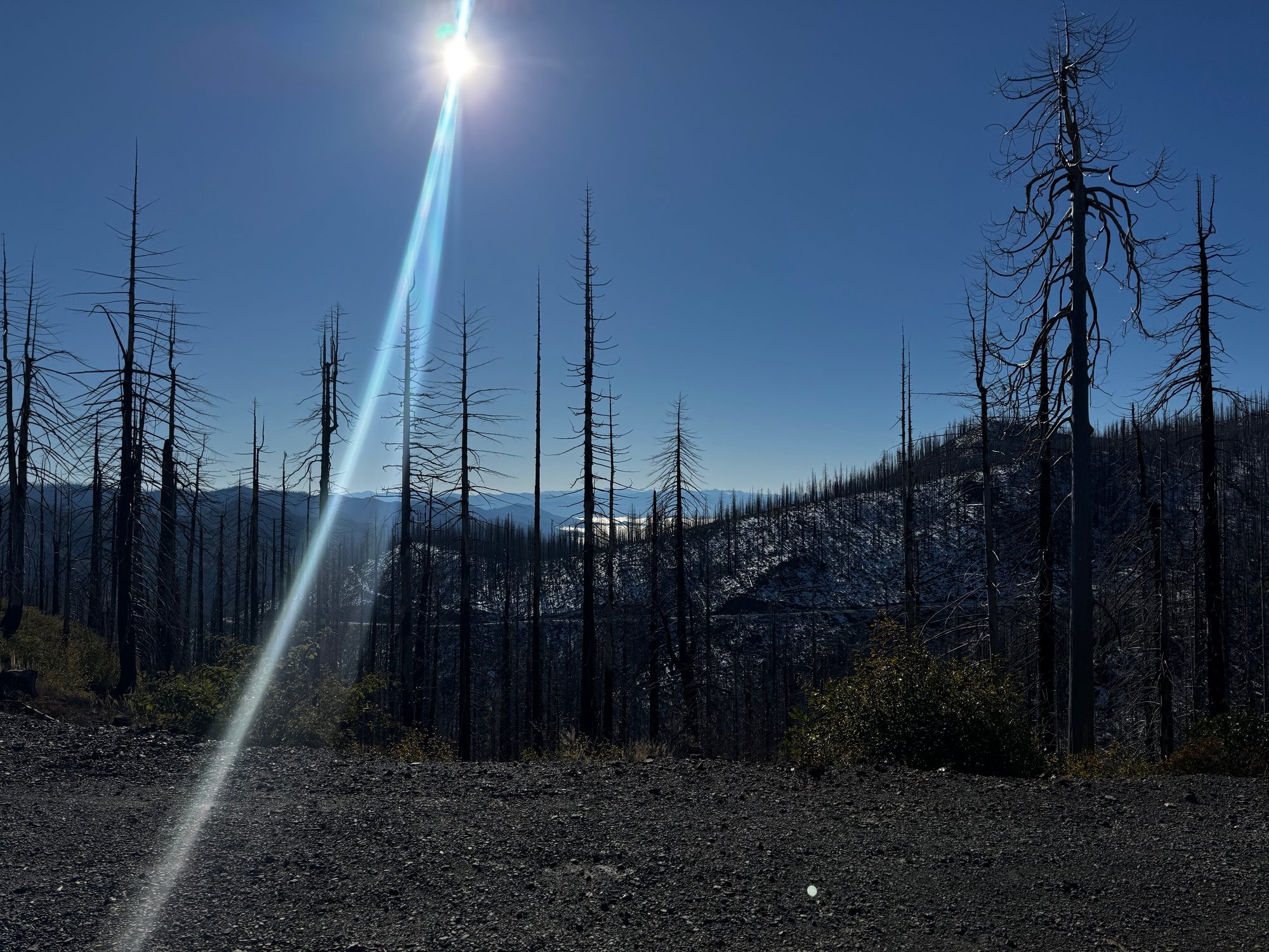
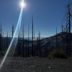 Burned forest along Grayback Road, Siskiyou County
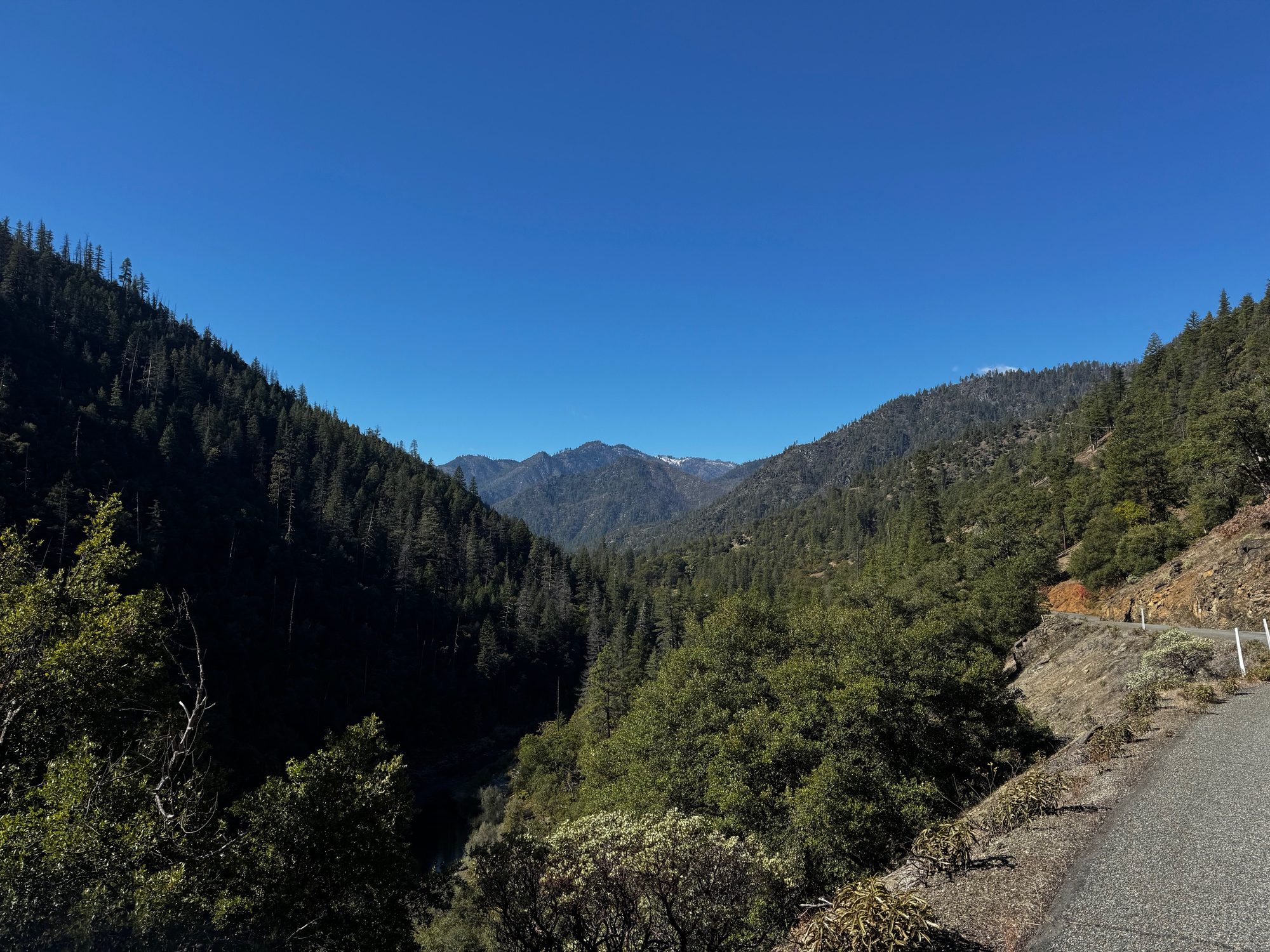
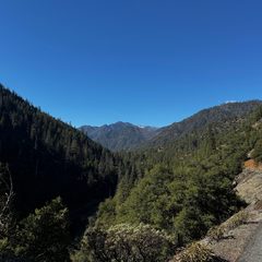 The canyon along Scott River Road near Scott Bar
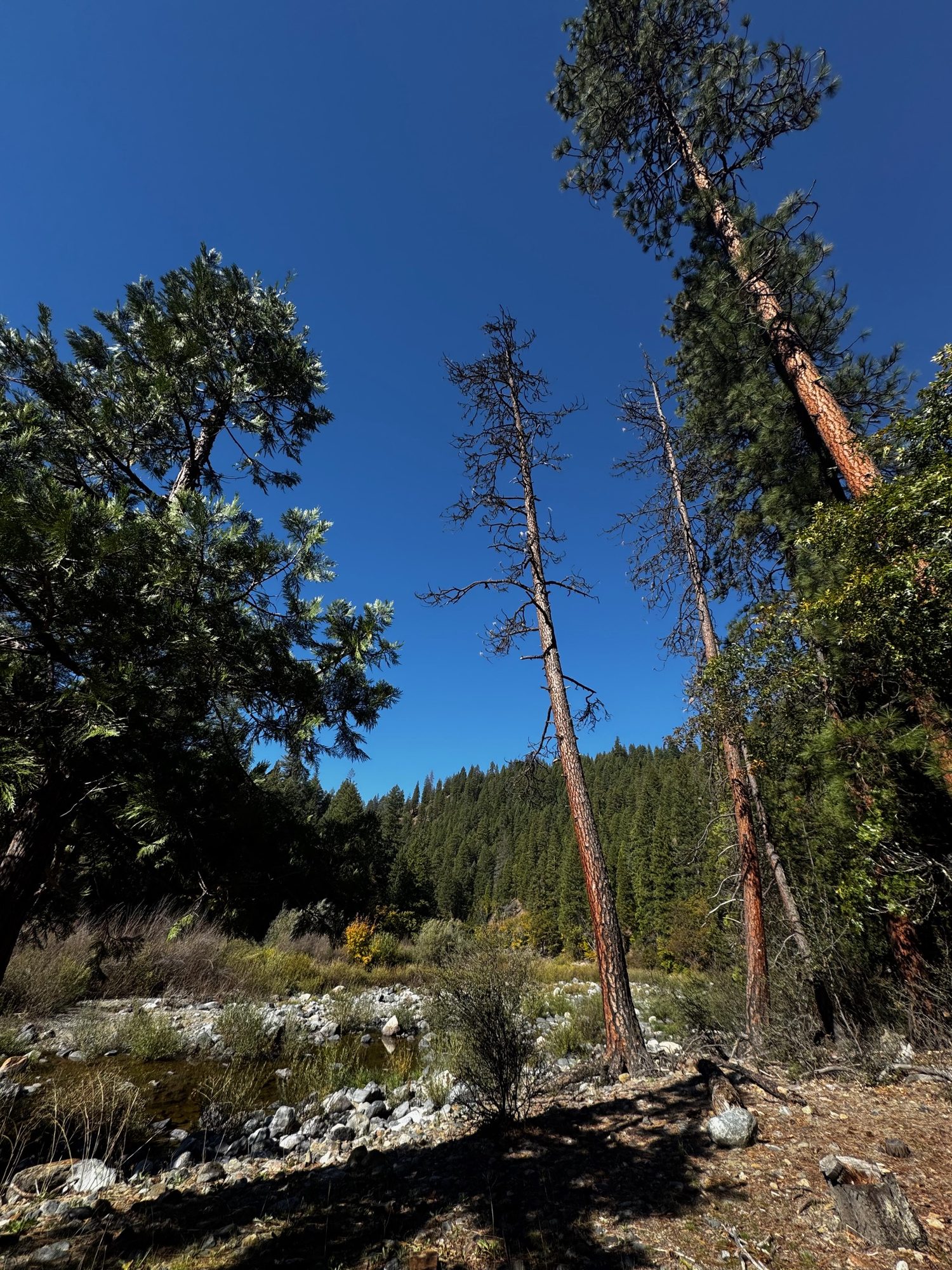
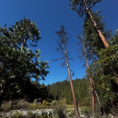 Tall trees along Scott River Road
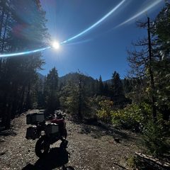 The bike on Scott River Road
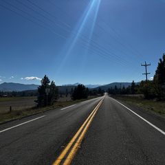 CA-3 across the Scott Valley toward Etna
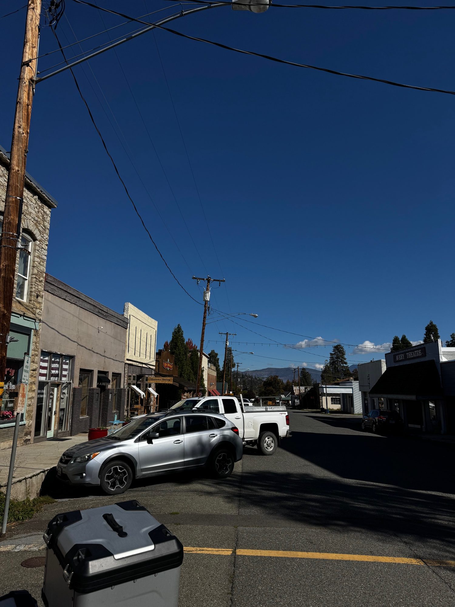
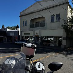 Main Street in Etna
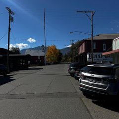 Looking along Main Street in Etna
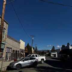 A street in downtown Etna
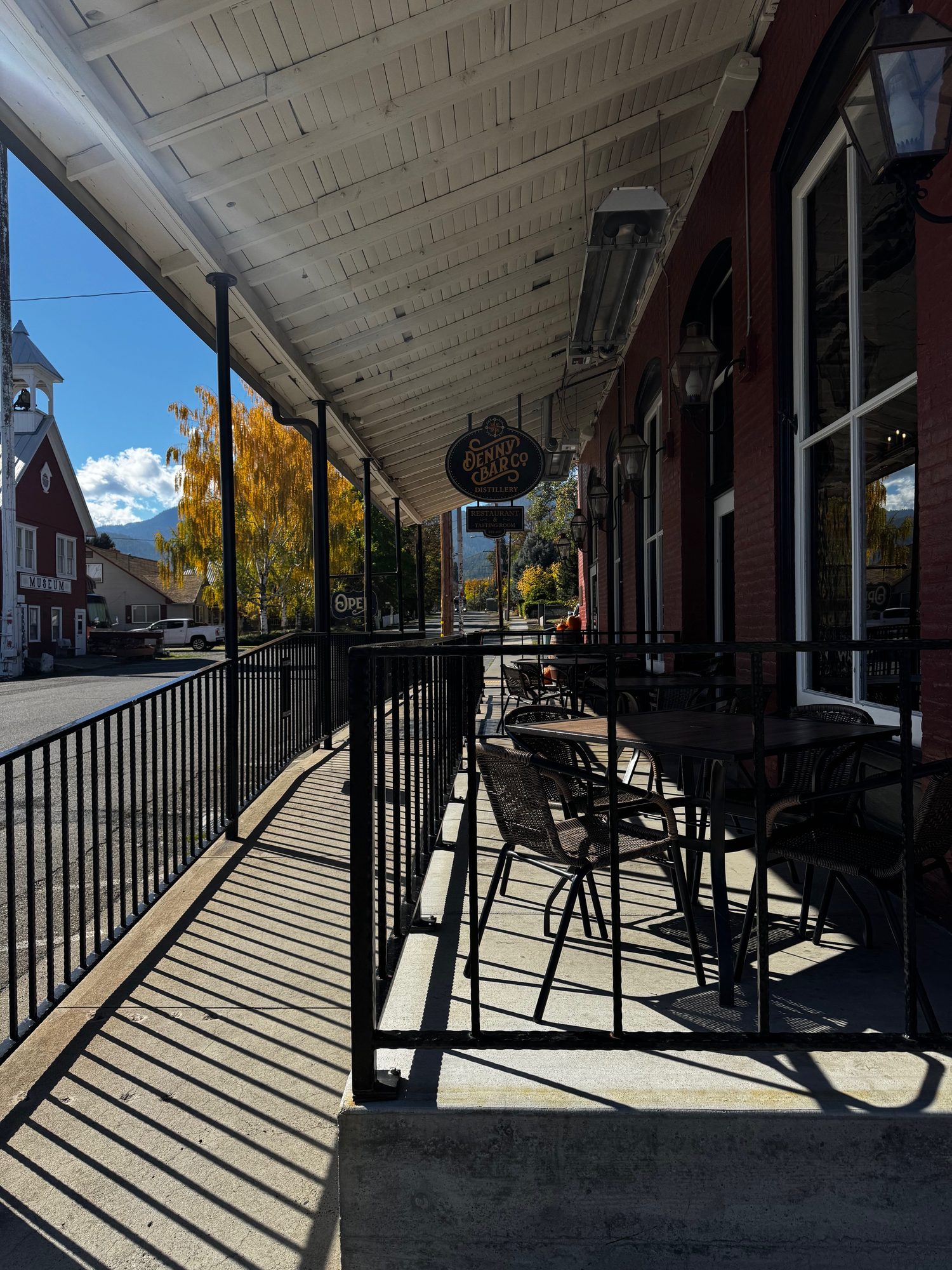
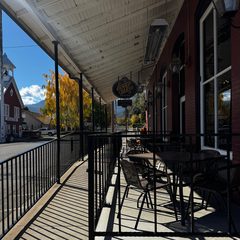 The covered sidewalk on Main Street in Etna
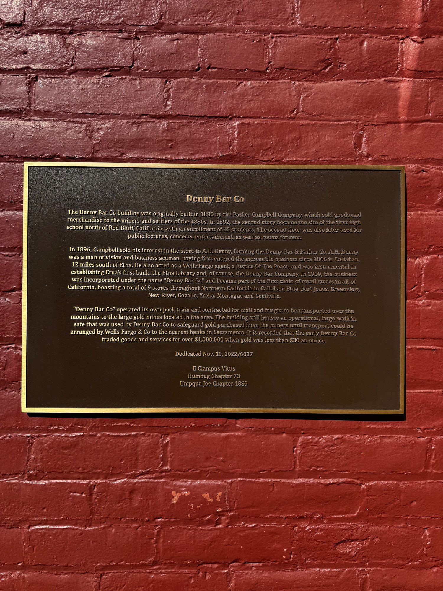
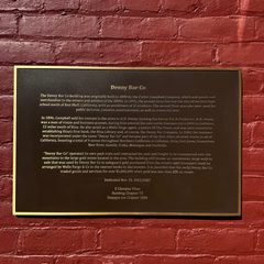 The Denny Bar Co historical plaque in Etna
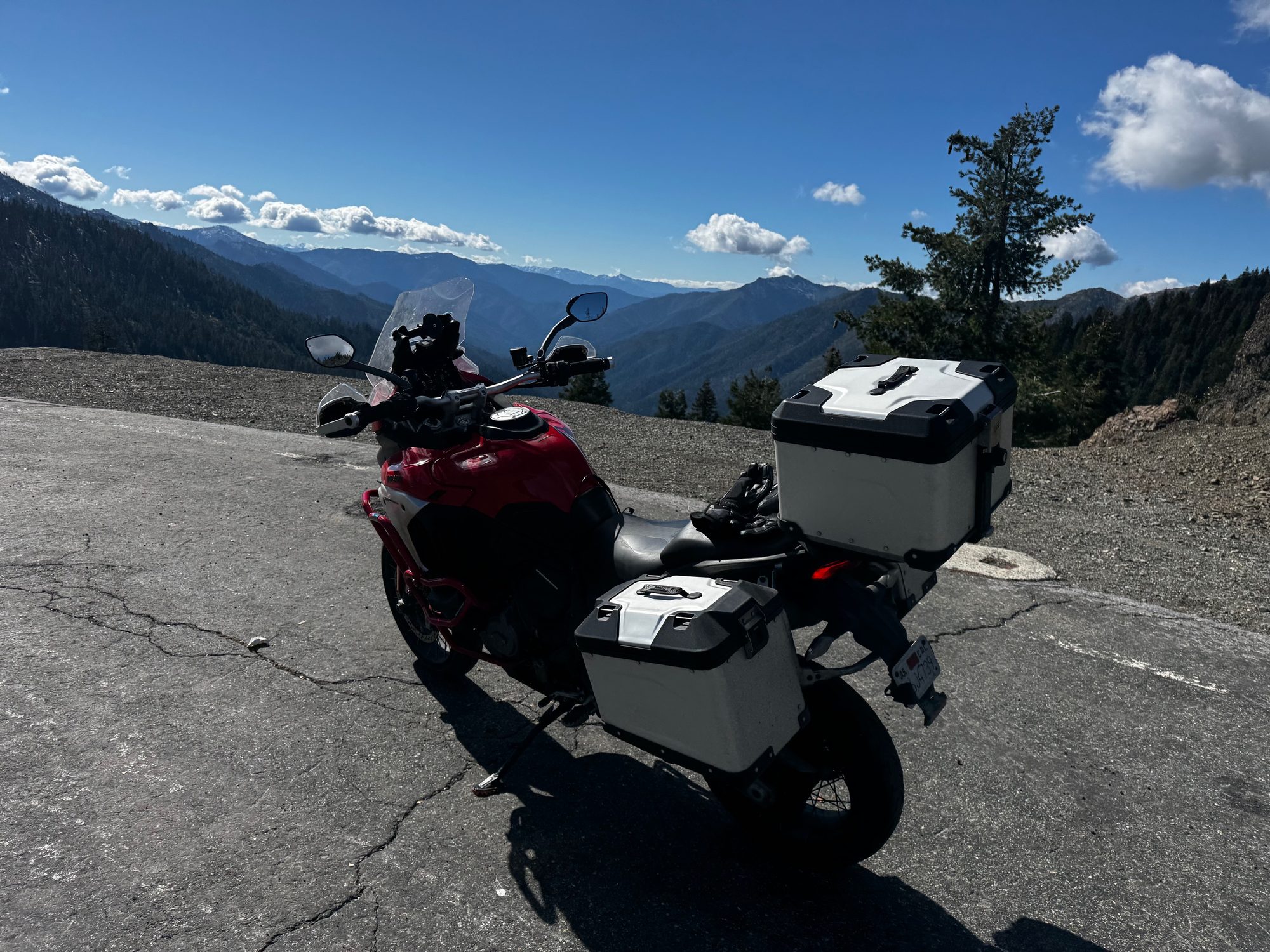
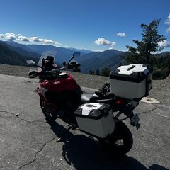 The bike at the Pacific Crest Trail crossing on Etna Summit
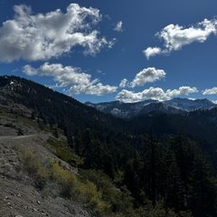 The mountains from Etna Summit
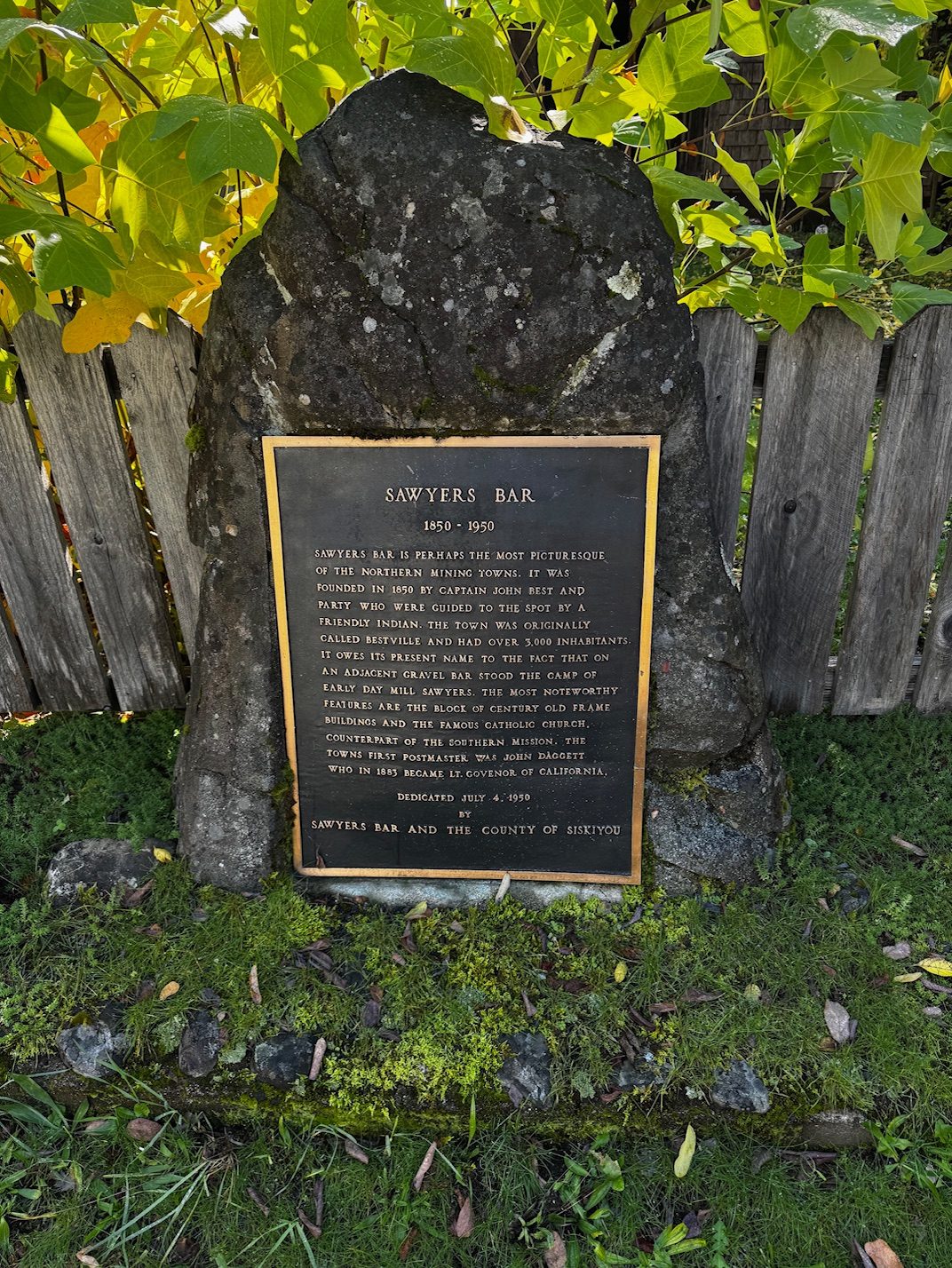
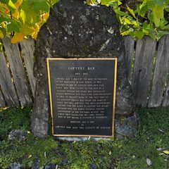 The Sawyers Bar historical plaque
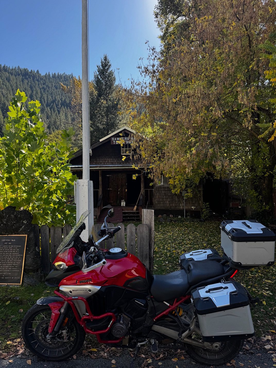
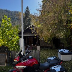 The bike outside the Sawyers Bar Town Hall
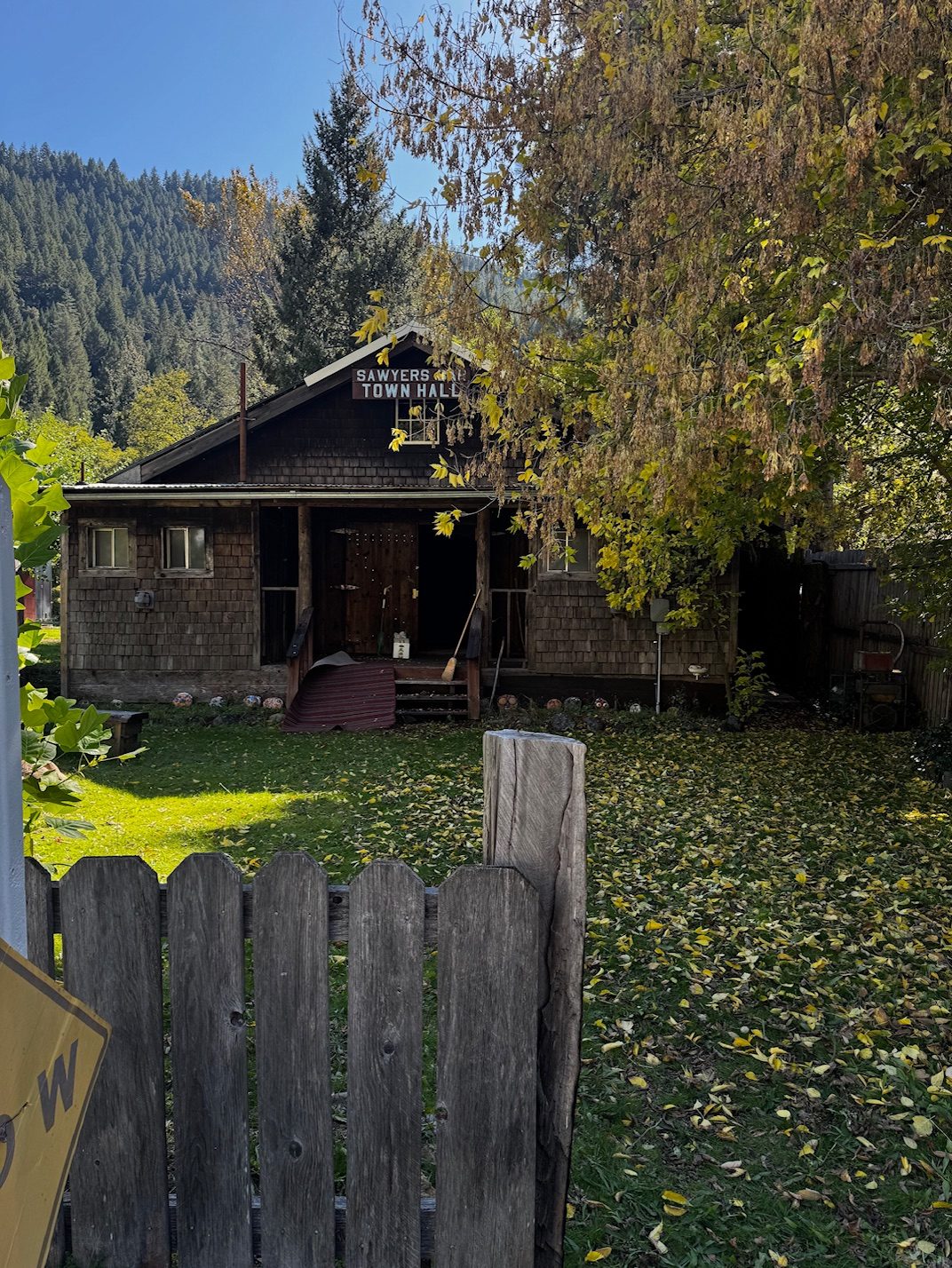
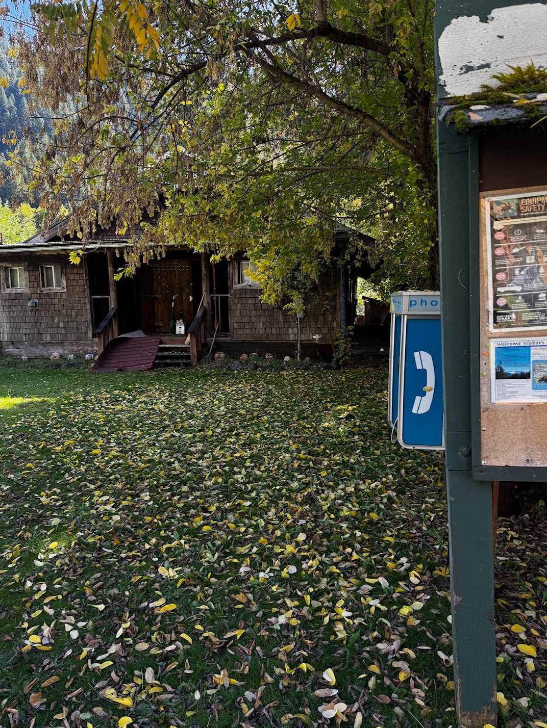
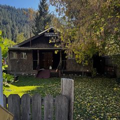 The Sawyers Bar Town Hall
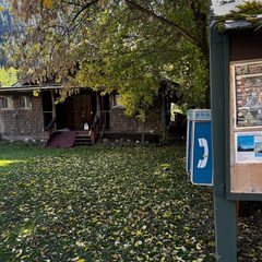 Fallen leaves by the Sawyers Bar Town Hall
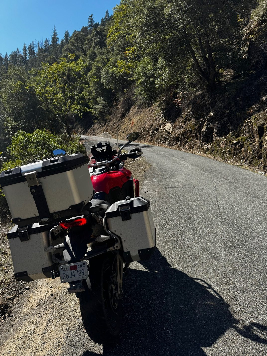
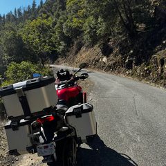 The bike on Sawyers Bar Road
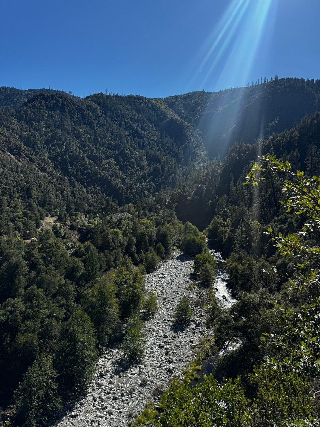
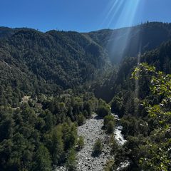 The river canyon below Sawyers Bar Road
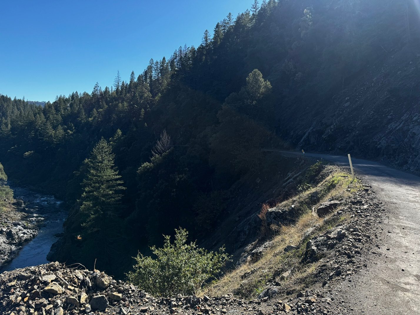
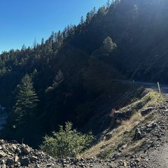 Salmon River Road above the river
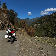 The bike on Salmon River Road
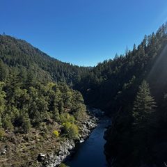 The Salmon River from Salmon River Road
Select a photo to open it full size.
10/16: Arcata back to Bakersfield
Overnight: Home to Bakersfield
About 554.3 miles (about 10.8 hours of riding, no stops). Approximate, from the rebuilt route.
The ride home to Bakersfield on US-101, CA-20 and I-5. No photos from this day.
Open this day in Google Maps Google Maps may pick slightly different roads than the map above.
Privacy: this page uses no cookies, no trackers, no analytics and no forms. Photos were published without location or camera data.