Routes hub · Saddle-Tested

Saddle-Tested

Real routes Brock has actually ridden. These are not AI-generated, unlike the weekly AI-suggested routes. The route and the stops are from his ride; the write-up and GPX were put together afterward from map data.

Saddle-Tested holds real routes Brock has ridden, from day rides to multi-week trips. Riders and bikes are listed with each trip.

Jump: Julian to San Clemente · Big Bear Lake to Julian · Bakersfield to Big Bear Lake

Multi-day trips

NorCal, October 2025. Ridden by Brock, solo, on a Ducati Multistrada Rally.

The bike at the Pacific Crest Trail crossing on Etna Summit Ridden by Brock on a Ducati Multistrada Rally

October 12-16, 2025. Five days, solo. Starts and ends in Bakersfield.

NorCal: up 395, the Redwood Coast and a dip into Oregon

Walker Pass and US-395 to Carson City, across to Arcata, up the coast to Crescent City, barely into Oregon, then south through Etna, Sawyers Bar and the Salmon River and home. Route rebuilt from Brock's outline and photo GPS, with GPX and 36 photos.

Open the NorCal trip

Ridden by Brock on a Ducati Multistrada Rally About 1,709 mi (approx.) 36 photos

Southern California day rides, October 2026

Three one-way day rides. Ridden by Brock on a Ducati Multistrada Rally and Kristy on a BMW R1200GS.

Ridden by Brock and Kristy

Starts in Julian. Ends in San Clemente.

Julian to San Clemente: Sunrise Highway, Palomar and the Ortega Highway

One-way day ride

Miles: About 175 miles by OSRM on OpenStreetMap through the ride’s waypoints (about 4.9 hours of routed riding time, no stops). Not an odometer reading.

Open directions · Download GPX

Starts on Main Street in Julian and drops south on CA 79 to Sunrise Highway (County S1), which runs the Laguna Mountains ridge past Mount Laguna down to Old Highway 80 near Pine Valley. From there it turns back north on CA 79 through Cuyamaca Rancho State Park, Julian again and Santa Ysabel, then takes Mesa Grande Road west to CA 76.

Next is Palomar Mountain: up East Grade Road (County S7) and down South Grade Road (County S6), then CA 76 through Pala and Pala Temecula Road into Temecula. A short run north on I-15 leads to Lake Elsinore, and Grand Avenue meets the Ortega Highway (CA 74).

Brock stopped at the Lookout Roadhouse (32107 Ortega Hwy, Lake Elsinore), on the climb out of Lake Elsinore. Its own site says it serves breakfast and lunch all day and welcomes bikers; confirm hours before you go. After that, the Ortega Highway crosses the Santa Ana Mountains west, and La Pata Avenue and Avenida Pico lead into San Clemente.

The ride ends in San Clemente. The public link and GPX end at Avenida Pico and El Camino Real, by I-5.

Ridden by Brock and Kristy Pavement One way About 175 mi, OSRM

Photos from the ride

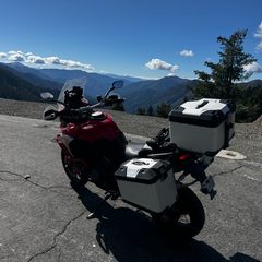
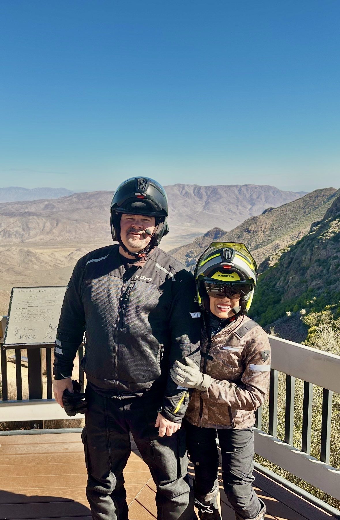
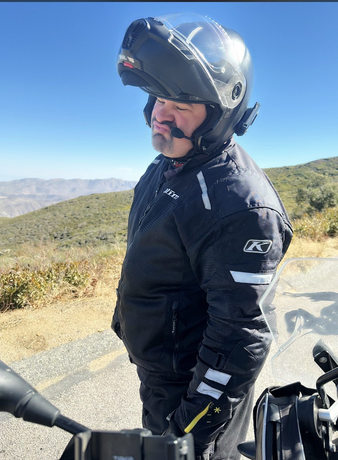
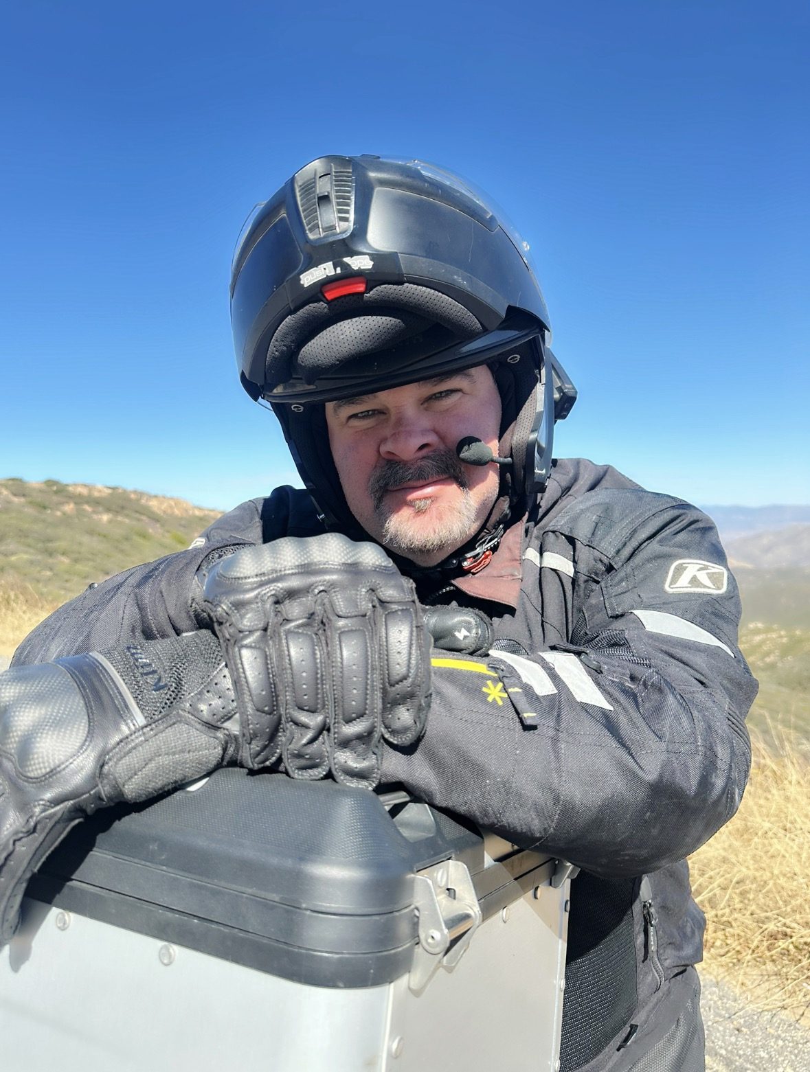
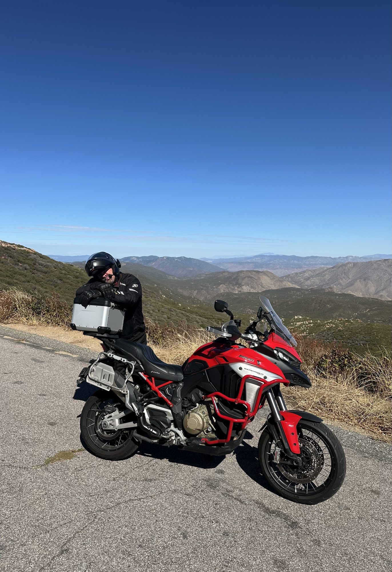
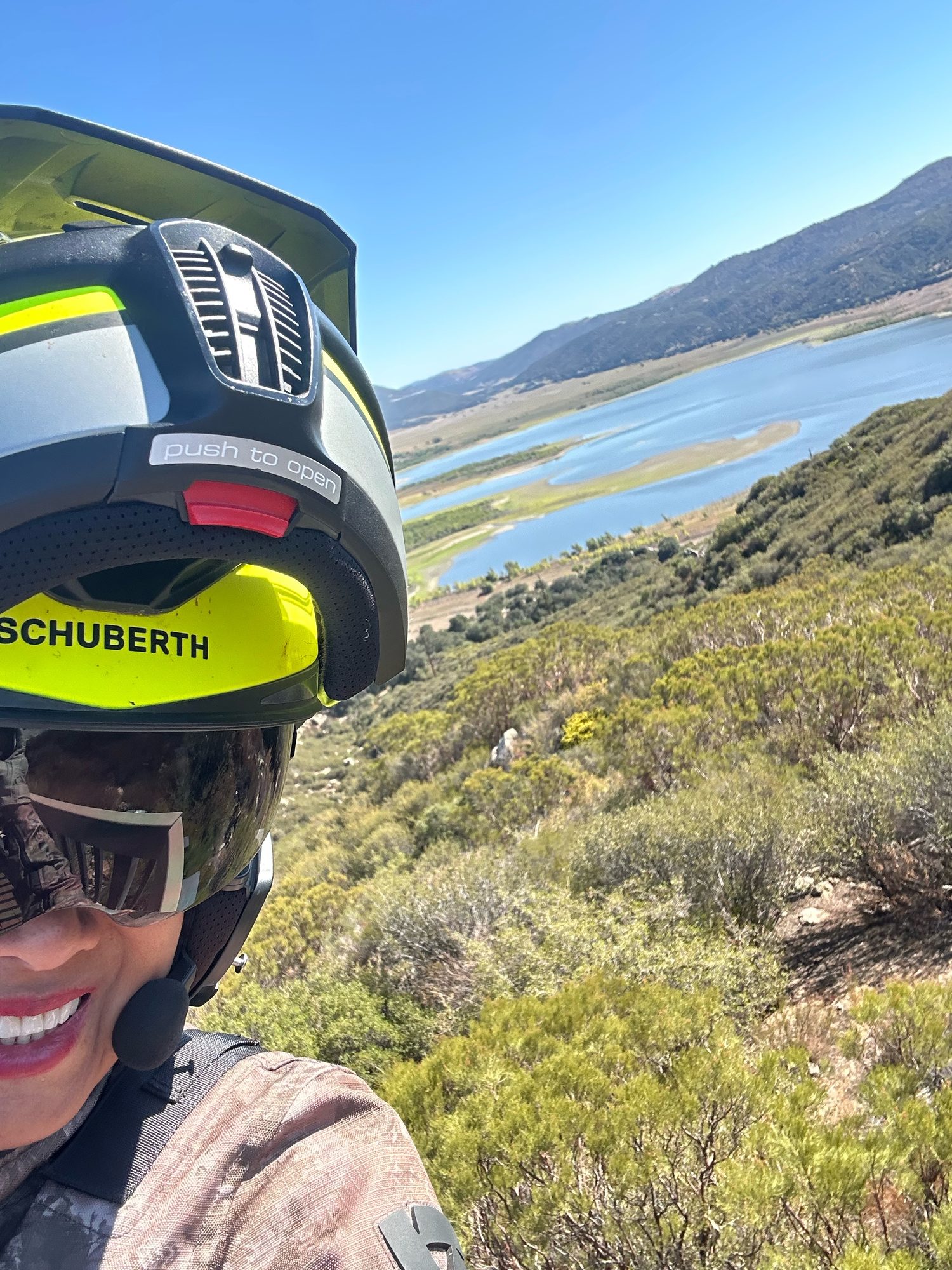
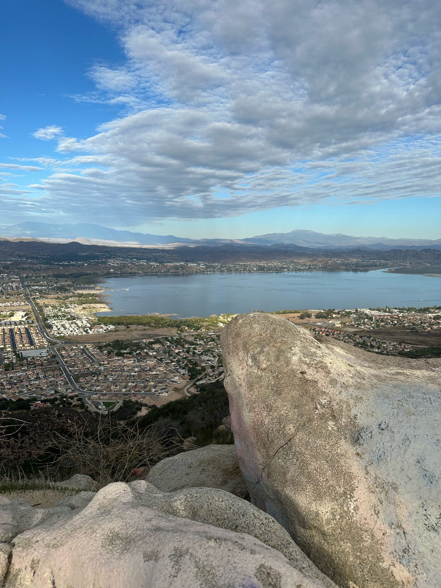
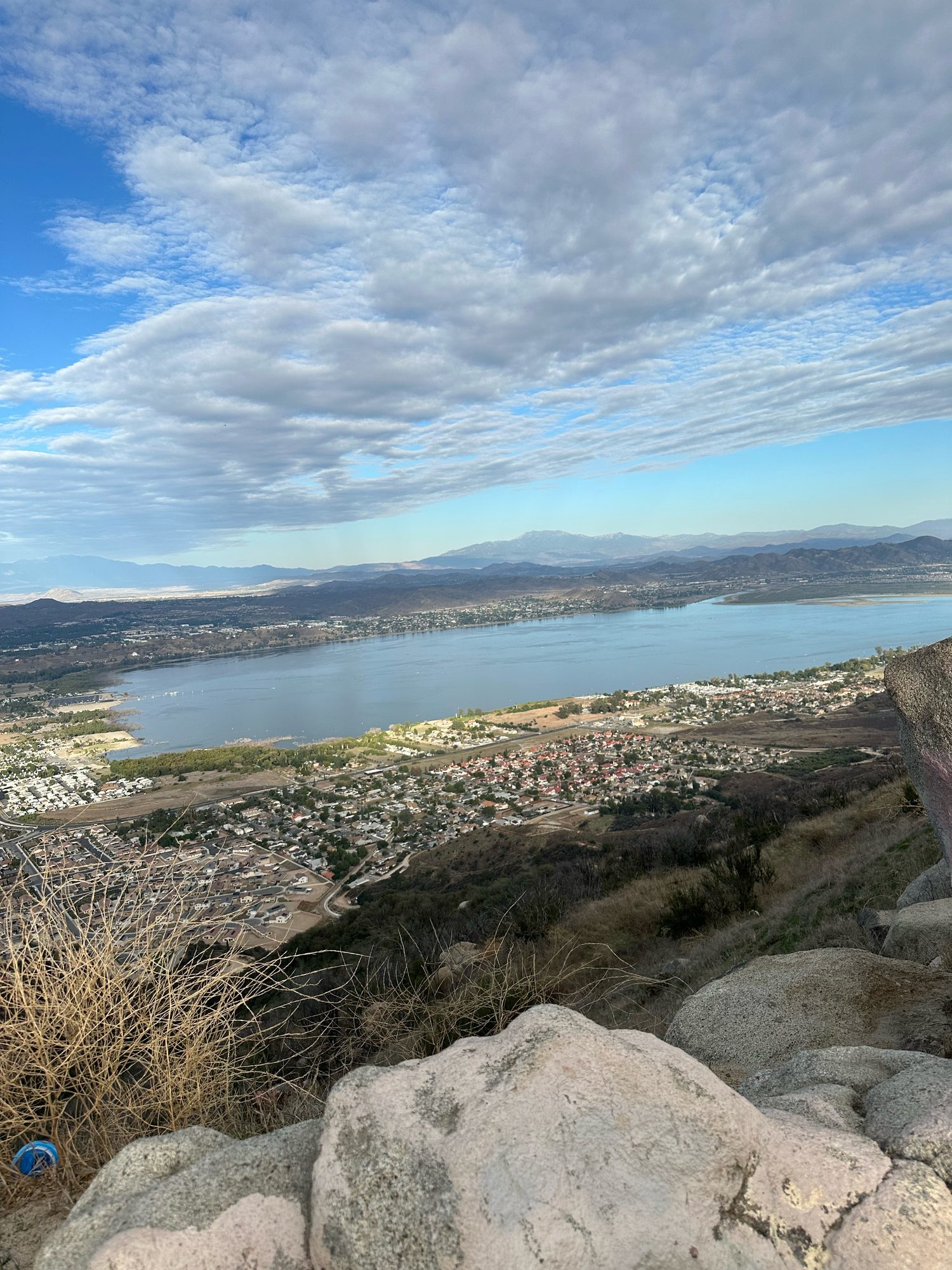
Photo map: Julian to San ClementeStart: JulianEnd: San ClementeBrock and Kristy on an overlook deck on Sunrise Highway, above the Anza-Borrego desertBrock at a roadside overlook on Sunrise HighwayBrock leaning on the top case on Sunrise HighwayBrock with his red Ducati Multistrada Rally on Sunrise HighwayKristy at Lake HenshawLake Elsinore from the Ortega HighwayAnother view of Lake Elsinore from the Ortega Highway Photo map: Julian to San ClementeStart: JulianEnd: San ClementeBrock and Kristy on an overlook deck on Sunrise Highway, above the Anza-Borrego desertBrock at a roadside overlook on Sunrise HighwayBrock leaning on the top case on Sunrise HighwayBrock with his red Ducati Multistrada Rally on Sunrise HighwayKristy at Lake HenshawLake Elsinore from the Ortega HighwayAnother view of Lake Elsinore from the Ortega Highway
Map drawn from this ride’s GPX file, with no outside map service. The photos had no location data, so Brock told us where each one was taken. Pins on Sunrise Highway and the Ortega Highway are placed along the route and are approximate. Select a photo to open it full size.
Ridden by Brock and Kristy

Starts in Big Bear Lake. Ends in Julian.

Big Bear Lake to Julian: CA 38, Idyllwild and Borrego Springs

One-way day ride

Miles: About 208 miles by OSRM on OpenStreetMap through the ride’s waypoints (about 5.2 hours of routed riding time, no stops). Not an odometer reading.

Open directions · Download GPX

Leaves Big Bear Lake on Big Bear Boulevard (CA 18) and picks up CA 38 for the long run over the San Bernardino Mountains and down past Angelus Oaks. At the bottom it cuts over on Bryant Street to Oak Glen Road through Oak Glen into Beaumont, then a short stretch of I-10 to Banning.

From Banning, the Banning-Idyllwild Panoramic Highway (CA 243) climbs to Idyllwild. The Pines to Palms Highway (CA 74) runs to Mountain Center, and CA 371 goes past Anza to Aguanga. CA 79 heads south past Warner Springs, then San Felipe Road (County S2) and Montezuma Valley Road (County S22) cross Ranchita and drop down the grade into Borrego Springs.

The last leg leaves the desert on Borrego Springs Road and Yaqui Pass Road (County S3) to CA 78, then climbs Banner Grade into Julian.

Big Bear Lake, Idyllwild and Julian sit at mountain elevation, and Borrego Springs is low desert, so expect a big temperature swing in one day. The ride ends in Julian; the public link and GPX end at Julian Town Hall on Main Street.

Ridden by Brock and Kristy Pavement One way About 208 mi, OSRM

Photos from the ride

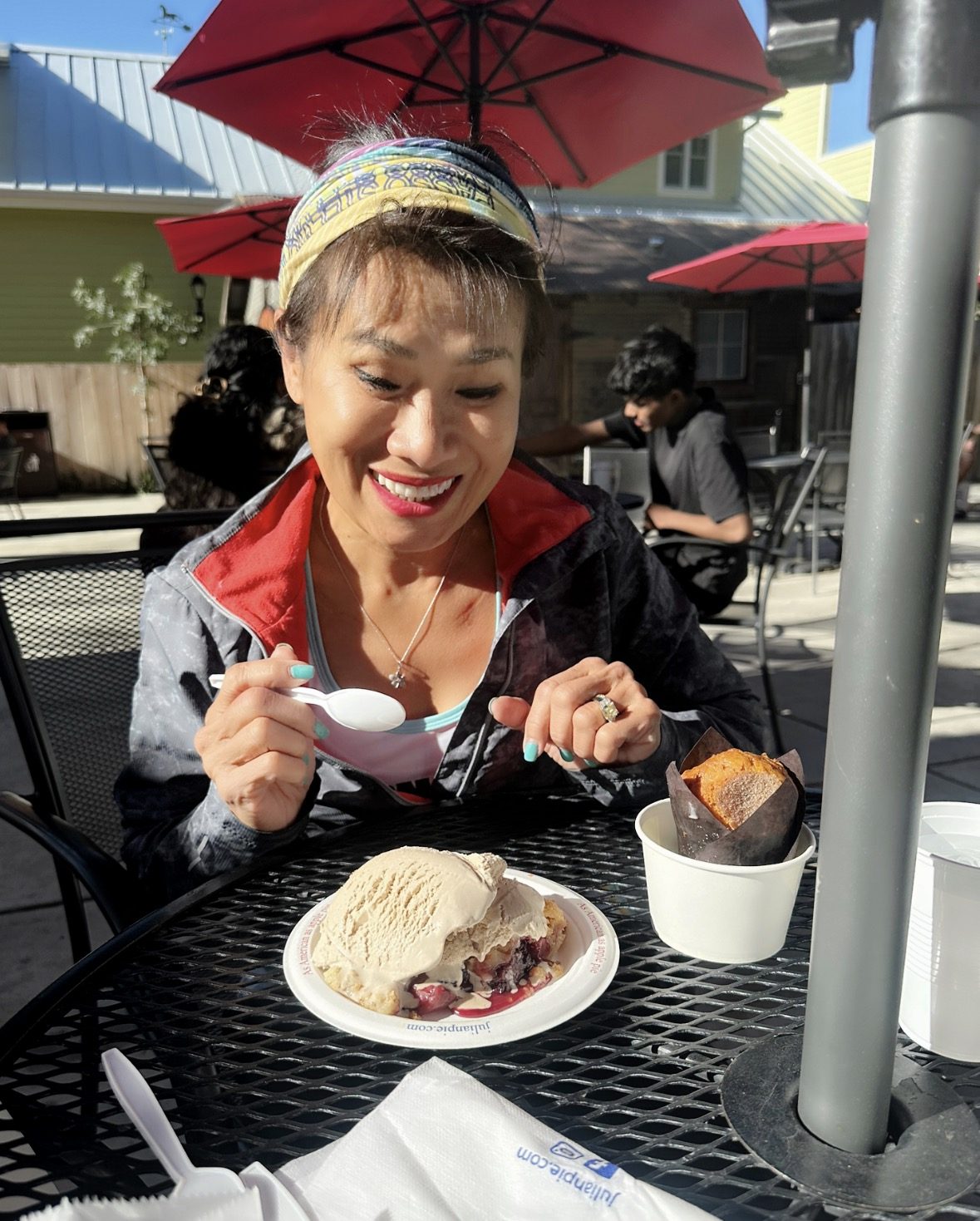
Photo map: Big Bear Lake to JulianStart: Big Bear LakeEnd: JulianKristy at the Julian Pie Company sign, Main Street, JulianKristy with pie at the Julian Pie Company Photo map: Big Bear Lake to JulianStart: Big Bear LakeEnd: JulianKristy at the Julian Pie Company sign, Main Street, JulianKristy with pie at the Julian Pie Company
Map drawn from this ride’s GPX file, with no outside map service. The photos had no location data, so Brock told us where each one was taken. Select a photo to open it full size.
Ridden by Brock and Kristy

Starts in Bakersfield. Ends in Big Bear Lake.

Bakersfield to Big Bear Lake: Kern Canyon, Caliente-Bodfish Road, Tehachapi and Rim of the World

One-way day ride

Miles: About 244 miles by OSRM on OpenStreetMap through the ride’s waypoints (about 6.3 hours of routed riding time, no stops). Not an odometer reading.

Open directions · Download GPX

Heads east out of Bakersfield on CA 178 and up Kern Canyon Road along the Kern River to Lake Isabella. Caliente-Bodfish Road then runs south through Havilah and Caliente, and Bealville Road joins CA 58 for the climb to Tehachapi.

From Tehachapi, CA 58 and CA 14 (Aerospace Highway and the Antelope Valley Freeway) run south past Mojave to Palmdale. Barrel Springs Road and Mount Emma Road cross the foothills to the Pearblossom Highway (CA 138) through Pearblossom, and CA 138 carries on east past Silverwood Lake and up into the mountains to Crestline.

The finish is the Rim of the World Highway (CA 18) from Crestline through Running Springs and on into Big Bear Lake.

This is the longest of the three at about 244 routed miles. Kern Canyon Road and Caliente-Bodfish Road are narrow, curvy two-lane roads, so plan fuel in Bakersfield, Lake Isabella and Tehachapi.

Ridden by Brock and Kristy Pavement One way About 244 mi, OSRM

Photos from the ride

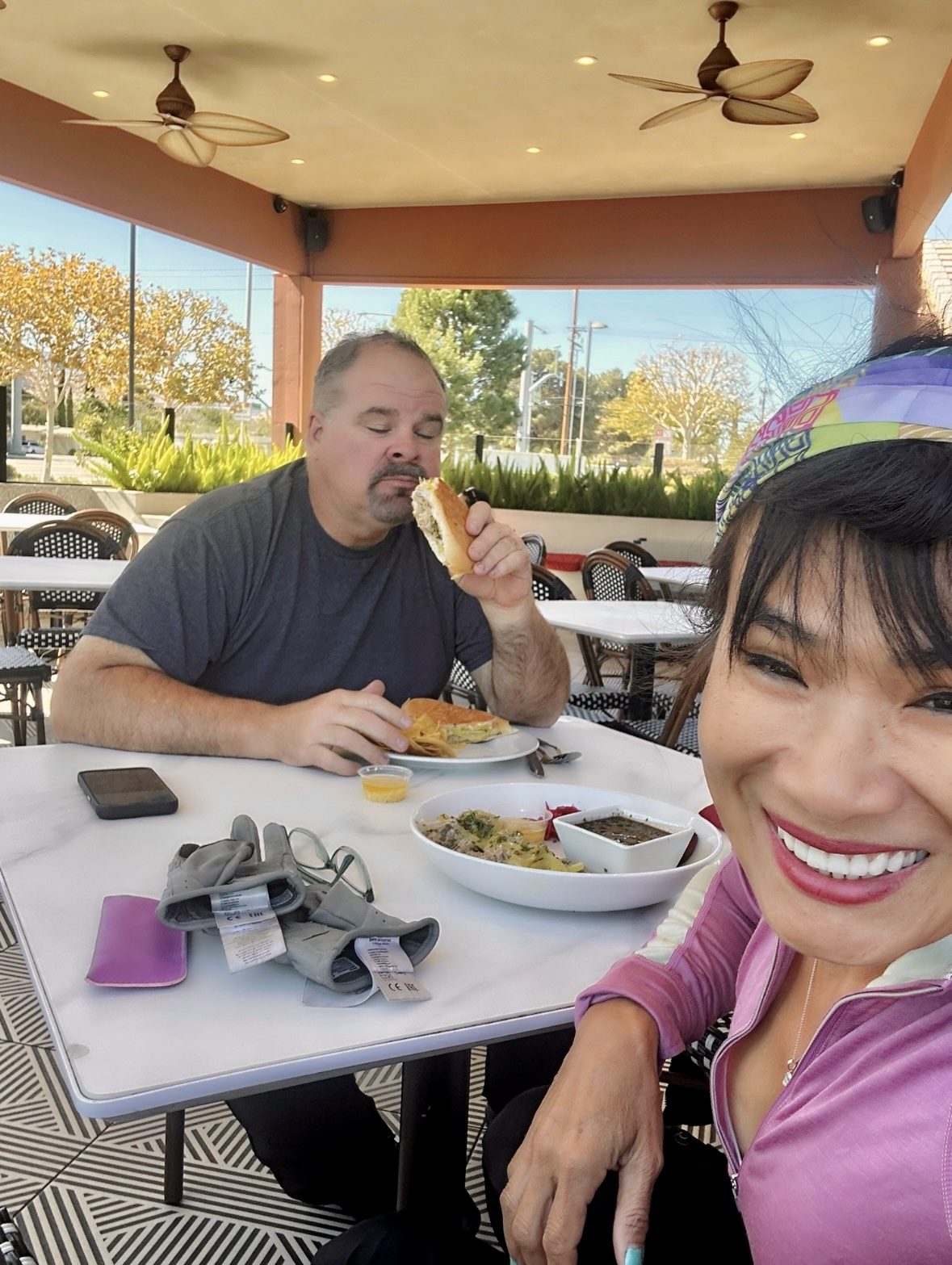
Photo map: Bakersfield to Big Bear LakeStart: BakersfieldEnd: Big Bear LakeBrock and Kristy at lunch on the patio at Baracoa Cuban Restaurant, Palmdale Photo map: Bakersfield to Big Bear LakeStart: BakersfieldEnd: Big Bear LakeBrock and Kristy at lunch on the patio at Baracoa Cuban Restaurant, Palmdale
Map drawn from this ride’s GPX file, with no outside map service. The photos had no location data, so Brock told us where each one was taken. Select a photo to open it full size.

Privacy: this page uses no cookies, no trackers, no analytics and no forms.